What is recorded here
Maigh Ráithe holds a broken oval ringfort beside the Ray river, its earthen bank reduced to a low ridge while a wide fosse still cuts the northwest grass. The eastern stones suggest people raised the ground against water or decay, shaping a small defensible life beside a steep valley. Local names call it a fairy fort, but the measured ditch and bank point to human hands, maybe anxious, maybe proud, working wet Donegal soil into a boundary the region has never fully erased.
Internal diam. 27m. An oval area originally enclosed by an earthen bank and an outer fosse which only survives along the NW sector. The bank which is .6m in height has been removed along the N. The fosse is c. 3m wide and 0.6m deep below ground surface. Some stones along the outer face on the E seem to have been part of a revetment to raise the site on this its low side. It is situated on the E edge of the steep Ray river valley c. 10m to the W. The land is fair to wettish grazing.
The above description was derived from the 'Archaeological Survey of County Donegal. A description of the field antiquities of the County from the Mesolithic Period to the 17th century.' Compiled by: Brian Lacey with Eamon Cody, Claire Cotter, Judy Cuppage, Noel Dunne, Vincent Hurley, Celie O'Rahilly, Paul Walsh and Seán Ó Nualláin (Lifford: Donegal County Council, 1983). In certain instances the entries have been revised and updated.
Date of upload: 22 September 2008
The official description records surviving remains. Its missing or destroyed wording refers only to one part of this place or to a different nearby feature. The monument record does not grant public access. Check the route and ask the landowner before entering private land.
- What survives
- Visible or partial remains survive
Places near here
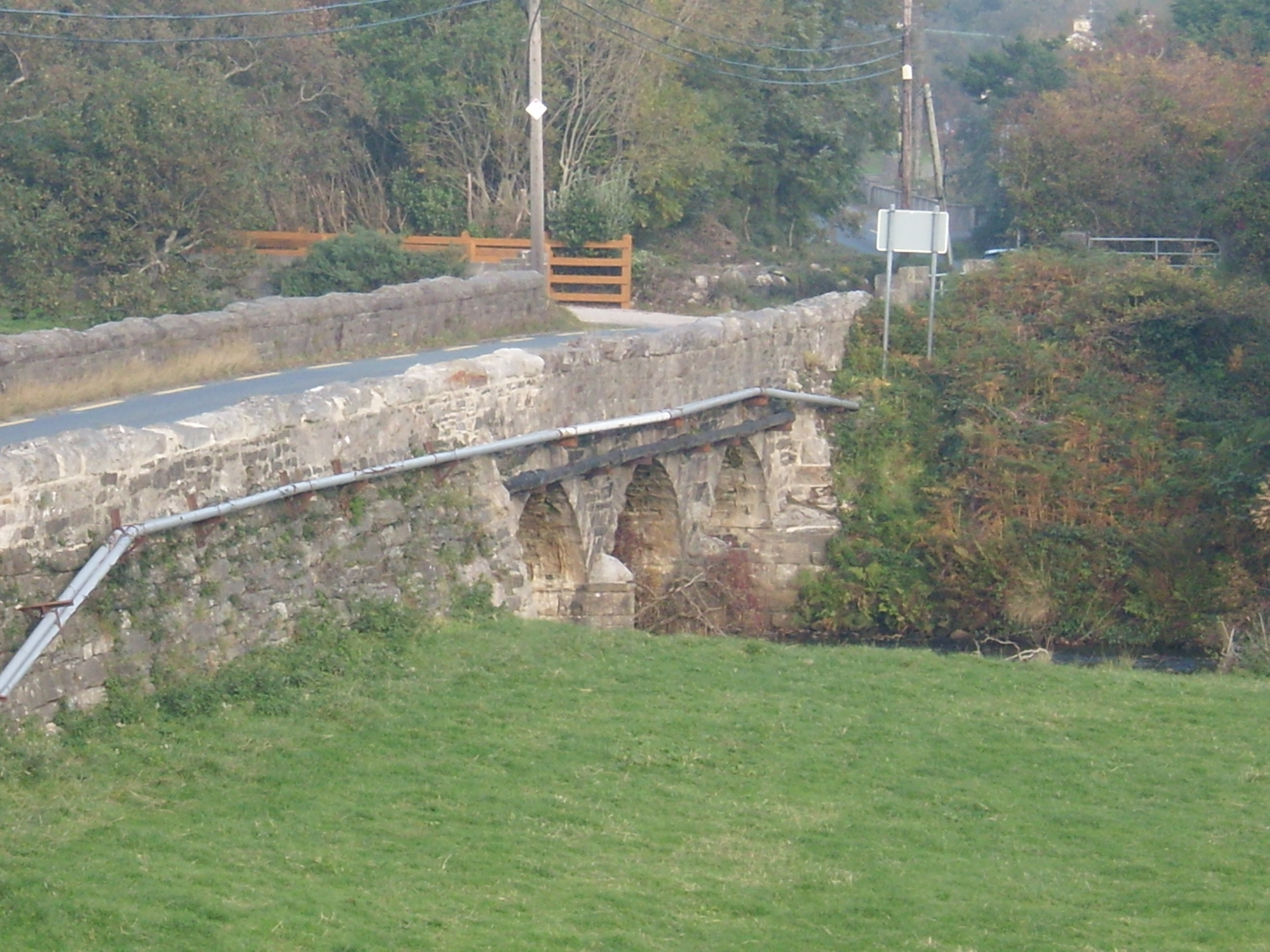 Drumavoghy Bridgebridge · 562 yd
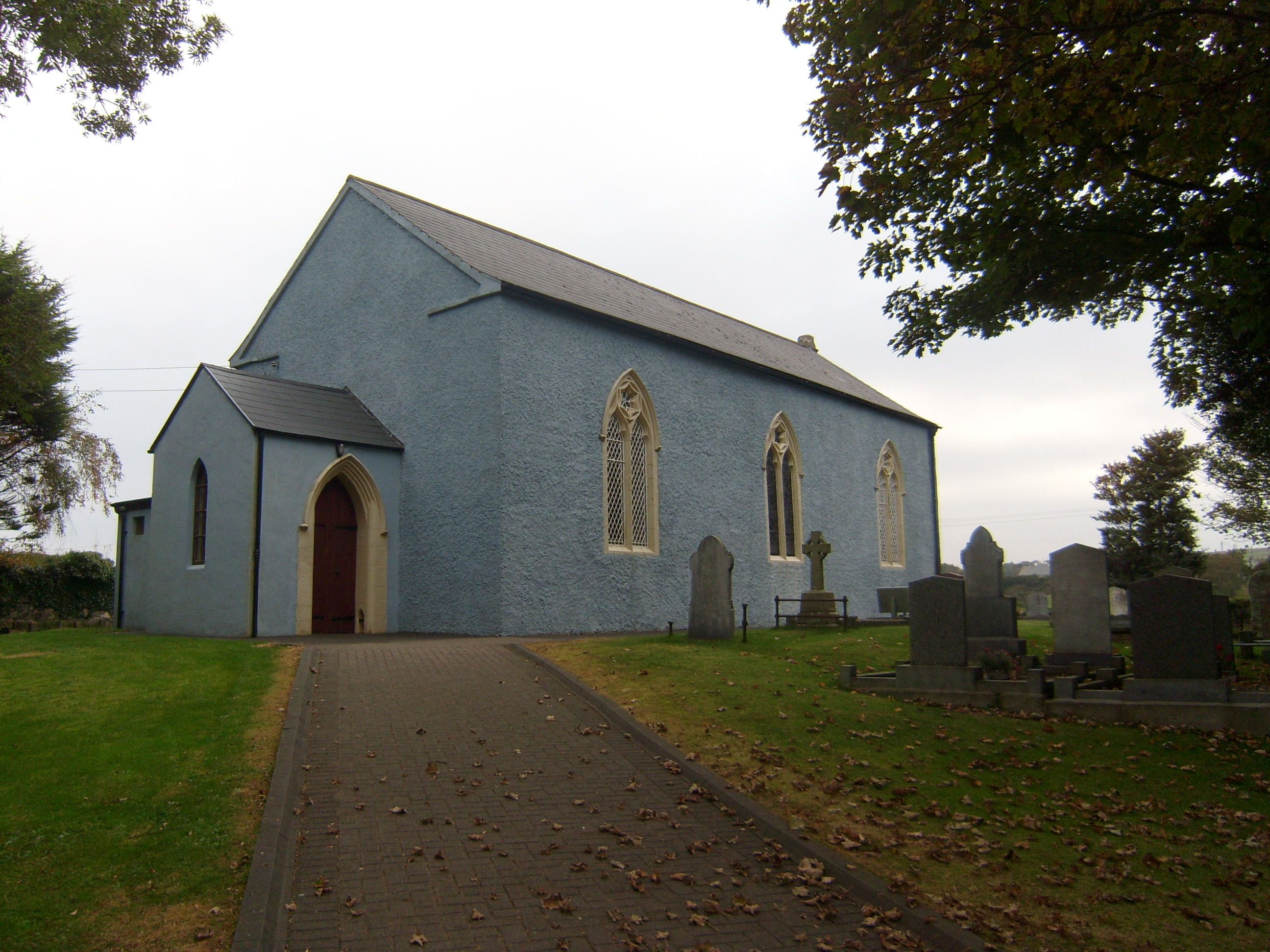 Saint Paul's Church (Raymunterdoney)church/chapel · 664 yd
 Cashelmacadowan FortFairy fort / stone ringfort · 1311 yd
 Stone CrossCross, High cross · 1411 yd
 Monterey CypressMonterey Cypress · 1698 yd
 Wych ElmWych Elm · 1726 yd
 Trá Dhroim na TineBeach / strand · 1.8 mi
 Castle Bawne (in Ruins)Bawn · 1.8 mi
 DrumnatinnyOfficial bathing water · 1.9 mi
 MuckishMountain / peak · 3.8 mi
 Boys IslandIslet · 4.0 mi
 The Bridge of TearsMemorial · 4.1 mi