What is recorded here
Fairy fort in Mahoonagh More: a circular earthen ring, 32.5 to 34.6 metres across, with a bank and outer ditch on a slight west-facing slope in County Limerick. People have lived around it for a long time, changing entrances, planting gardens, building sheds and dropping a gas tank into the ditch. The old boundary still stands beneath pasture and ordinary use, marking a place where human hands kept shaping an older form.
In pasture, on slight W-facing slope. Circular area (32.5m N-S; 34.6m E-W) enclosed by earthen bank (int. H 1.6m; ext. H 3.3m), with an external fosse (D 1.35m; Wth 2.1m) SW->NE. Entrance (Wth 4m) through bank at E has been blocked-up and another entrance (Wth 2.4m) recently constructed at WNW. A gas tank has been inserted into base of fosse at WNW. Sheds and a fenced-in garden abut outer edge of fosse NW->ENE. Five steel arches span fosse NNW->NNE. Level interior, used as vegetable garden until recently, is now under pasture.
Compiled by: Denis Power
Date of upload: 26 August 2011
The monument record does not grant public access. Check the route and ask the landowner before entering private land.
- What survives
- Recorded monument
Places near here
 Enclosure in Mahoonagh BegEnclosure · 164 yd
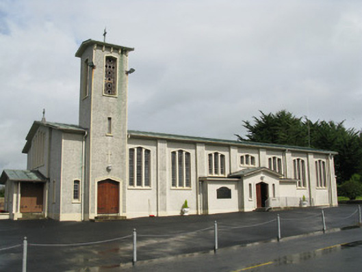 Catholic Church of Saint John the Baptistchurch/chapel · 639 yd
 Mahoonagh Church (in ruins)Church · 783 yd
 Castle MahonCastle · 872 yd
 BarrowBarrow, ring-barrow · 1595 yd
 Ballynoe Castle (in ruins)Castle, tower house · 2.0 mi
 Garbally WellSpring · 3.0 mi
 Sunday WellSpring · 3.5 mi
 European ashEuropean ash · 4.0 mi
 Ballagh MountainMountain / peak · 5.8 mi
 Limerick GreenwayWalking route · 6.2 mi
 Sugar HillMountain / peak · 7.2 mi