What is recorded here
Situated on a slight rise, in gently undulating pasture. Ringfort (WM030-094----) lies c. 130m to WSW. According to O’ Donovan (OSL 1837, 46), this ringfort was known locally as the ‘Cave Fort’ (OSNB 2). Depicted on the revised 1910 ed. OS 25-inch map as a roughly circular-shaped earthwork. Monument described in 1973 as a roughly circular-shaped area (diam. 33m) enclosed by a bank. The low bank is constructed of earth and stone and is almost reduced to a scarp. The interior rises from the perimeter towards the centre and has an uneven surface where some boulders project across the S half. Man-made underground passage (WM030-095001-) located in the centre. Outline of monument is visible today as an earthwork on Digital Globe aerial photography.
Compiled by Alison McQueen, Vera Rahilly and Caimin O’Brien.
Date of upload: 09 November 2019
The monument record does not grant public access. Check the route and ask the landowner before entering private land.
- What survives
- Recorded monument
Places near here
 Cloghawareschal CastleCastle, unclassified · 779 yd
 Enclosure in KillinroanEnclosure · 842 yd
 OutlinedFairy fort / earthen ringfort · 1489 yd
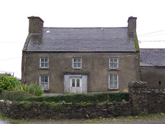 Nahod Beag Househouse · 1.0 mi
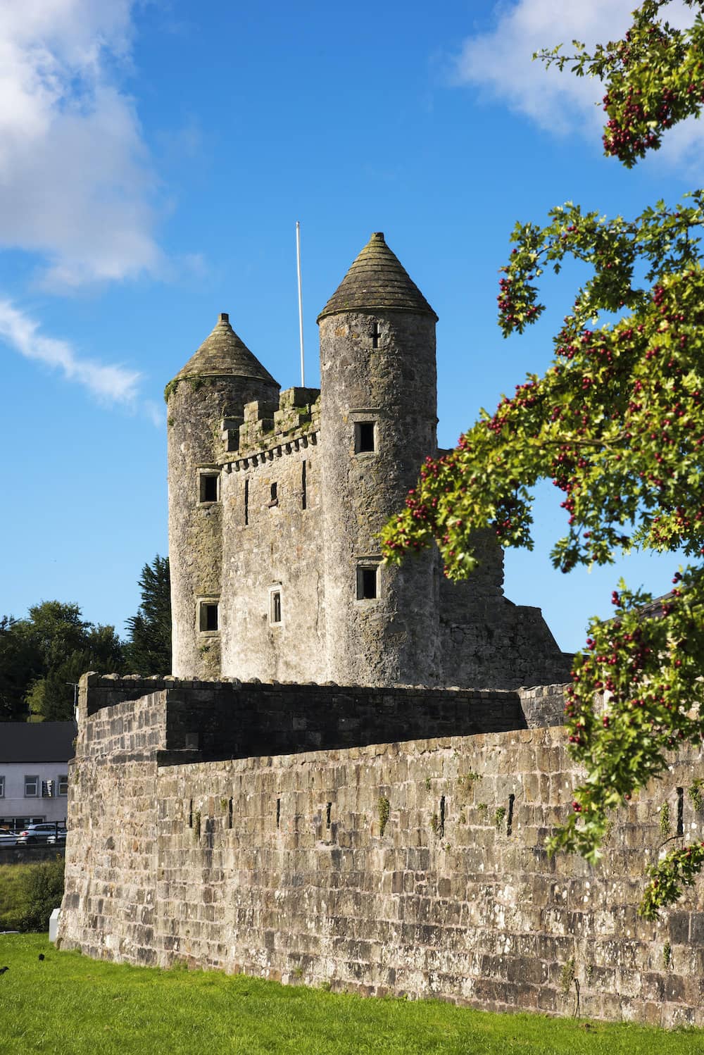 CastleCastle, tower house · 1.1 mi
 Farnaghcountry house · 1.1 mi
 Dún na SíMuseum · 1.8 mi
 Dún na Sí Heritage CentreMuseum · 1.9 mi
 Charles BianconiMemorial · 2.6 mi
 Moate HillMountain / peak · 2.7 mi
 European ashEuropean ash · 4.2 mi