What is recorded here
Fairy fort / earthen ringfort in Magheraboy is a fairy fort or earthen ringfort in Magheraboy, County Roscommon, Ireland. The circular feature measures about thirty metres across and occupies a low-lying level landscape. Dense rushes and grass now cover the site, hiding its defining boundaries from ground observation although aerial photography still reveals the complete circle.
Visible as a circular feature (diam. c. 30m) on aerial photographs (ACAP: V221/133-4), and situated on a low-lying level landscape. It survives as a circular grass and rush-covered area (diam. c. 30m) but its defining features are not discernible on the ground in dense rushes.
Compiled by: Michael Moore
Date of amended upload: 27 April 2018
The monument record does not grant public access. Check the route and ask the landowner before entering private land.
- What survives
- Recorded monument
Places near here
 Kilcolman ChurchChurch · 635 yd
 CastleCastle, unclassified · 692 yd
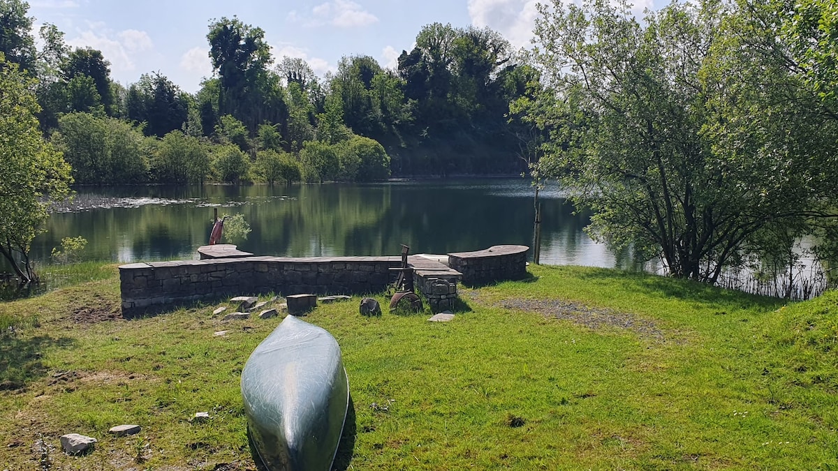 Embanked enclosureFairy fort / earthen ringfort · 1082 yd
 Enclosure in ToobrackanEnclosure · 1252 yd
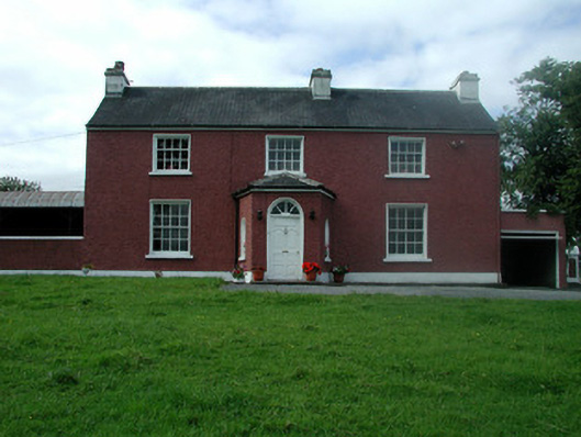 Beech Mounthouse · 1525 yd
 Casatle (ruins)Castle, unclassified · 1.9 mi
 Bockagh HillMountain / peak · 3.1 mi
 Bawn IslandIslet · 4.7 mi
 Fairymount HillMountain / peak · 5.0 mi
 Druminagh WoodForest · 5.0 mi
 Rose PointHeadland · 5.4 mi
 Castle PointHeadland · 5.6 mi