What is recorded here
Maddyboy holds a thirty-metre earthen ring on wet rushy grass, marked clearly on the 1840 map and later measured as an oval platform with a southern ditch. It sits beside a conifer plantation and old field boundary, far enough from the road to keep its own quiet company. The fairies may have built it, but people more likely shaped the bank for shelter, ritual or simply a place to stand above the damp.
On poorly drained rushy grassland, in W side of an irregular shaped field, 120m E of a stream that forms the townland boundary with Cloonkeen, and 250m W of a public road. A conifer plantation is located to the immediate W. Depicted on the 1840 OS 6-inch map as a circular-shaped area (approx. ext. diam. 30m) enclosed by a bank with post-1700 field boundary immediately to W. This map depicts a trackway 50m to the S that leads to the public road. The 1897 OS 25-inch map depicts the monument as a raised oval-shaped platform (approx. int. dims. 35m NE-SW x 25m NW-SE) with evidence of an outer ditch (approx. L 40m) at S, a post -1700 field boundary transects the monument at W. A well is shown on this map 10m to the NW. Google Earth orthoimage taken 28/06/2018 shows the tree-covered monument transected by a field boundary to the W along with coniferous plantation and modern farm buildings approx. 50m to N.
See attached Google Earth orthoimage taken 28/06/2018
Compiled by: Fiona Rooney and Martin Fitzpatrick
Date of upload: 10 June 2020
The monument record does not grant public access. Check the route and ask the landowner before entering private land.
- What survives
- Recorded monument
Places near here
 Clonshavoyhouse · 416 yd
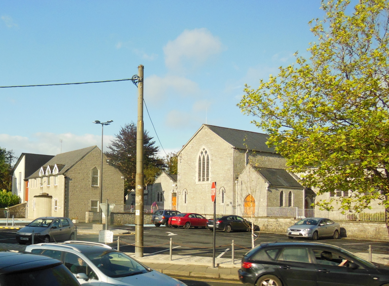 Clonkeen Church (in ruins)Church · 575 yd
 EnclosureEnclosure, large enclosure · 579 yd
 Grave YardGraveyard · 1602 yd
 CastleCastle, unclassified · 1.1 mi
 Graveyard in AbingtonGraveyard · 1.8 mi
 Sliev Felim WayVisitor information · 2.3 mi
 Bawn in RathBawn · 2.7 mi
 Campus MapVisitor information · 5.1 mi
 Fountain SculptureHeritage attraction · 5.2 mi
 KnockseefinMountain / peak · 7.1 mi
 The Pollagh TrailNature reserve · 8.6 mi