What is recorded here
Mortons and Macetown still drop names into myths, yet the red tower and chambered tomb belong to evidence. The chambered tomb holds a dead person and the red tower holds a church. That much is clear. The fairy stories are not dismissal, they are memory wearing a mask. They tell you the place still works, still marks the edge between the known world and the world underneath it.
Located on a fairly level landscape. The cropmark of a circular enclosure (diam. c. 30m) defined by a single fosse feature is visible only on Google Earth (14/07/2018). It is cut towards the edge at S by the cropmark of an E-W drain, which is represented as a field bank only on the 1836 edition of the OS 6-inch map. It was first reported by Anthony Murphy and it was also reported by Jean Charles Caillère.
Dee the attached image from Google Earth 14/07/2018
Compiled by: Michael Moore
Date of upload: 5 June 2019
The monument record does not grant public access. Check the route and ask the landowner before entering private land.
- What survives
- Recorded monument
Places near here
 Holy well in Bellewstown (navan Lower By.)Holy well · 1392 yd
 Enclosure in Grange (navan Upper By.)Enclosure · 1.0 mi
 Fox CovertWood · 1.6 mi
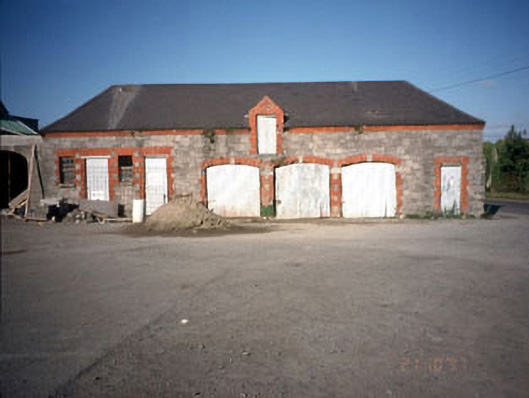 Beechmount Houseoutbuilding · 1.8 mi
 Kilcarn Br.Bridge · 1.8 mi
 Assey CastleCastle, tower house · 1.9 mi
 Wych ElmWych Elm · 2.1 mi
 Trubley CastleCastle, tower house · 3.2 mi
 BohermeenMountain / peak · 3.7 mi
 Carn HillMountain / peak · 3.8 mi
 Donaghmore Round TowerHeritage attraction · 3.9 mi
 The New Line RoadMemorial · 4.0 mi