What is recorded here
Fairy fort in Lurriga: a 40-metre earthen ring on a drumlin above a stream, its south edge sharpened into rock and its fern-stuffed bank broken in three places, as if entry depended on choosing the right gap.
In tillage, atop drumlin, N of stream. Circular area (40m N-S; 38m E-W) enclosed by earthen bank (H 1.5m) WSW->SE; scarp elsewhere, formed by rock outcrop to S. Break in bank to E (Wth 6.5m), may be ancient; SE (Wth 7.5m); NW (Wth 2m). Ferns cover bank and interior.
The above description is derived from the published 'Archaeological Inventory of County Cork. Volume 1: West Cork' (Dublin: Stationery Office, 1992). In certain instances the entries have been revised and updated in the light of recent research.
Date of upload/revision: 14 January 2009
The monument record does not grant public access. Check the route and ask the landowner before entering private land.
- What survives
- Recorded monument
Places near here
 Coolngrane Fairy FortFort · 338 yd
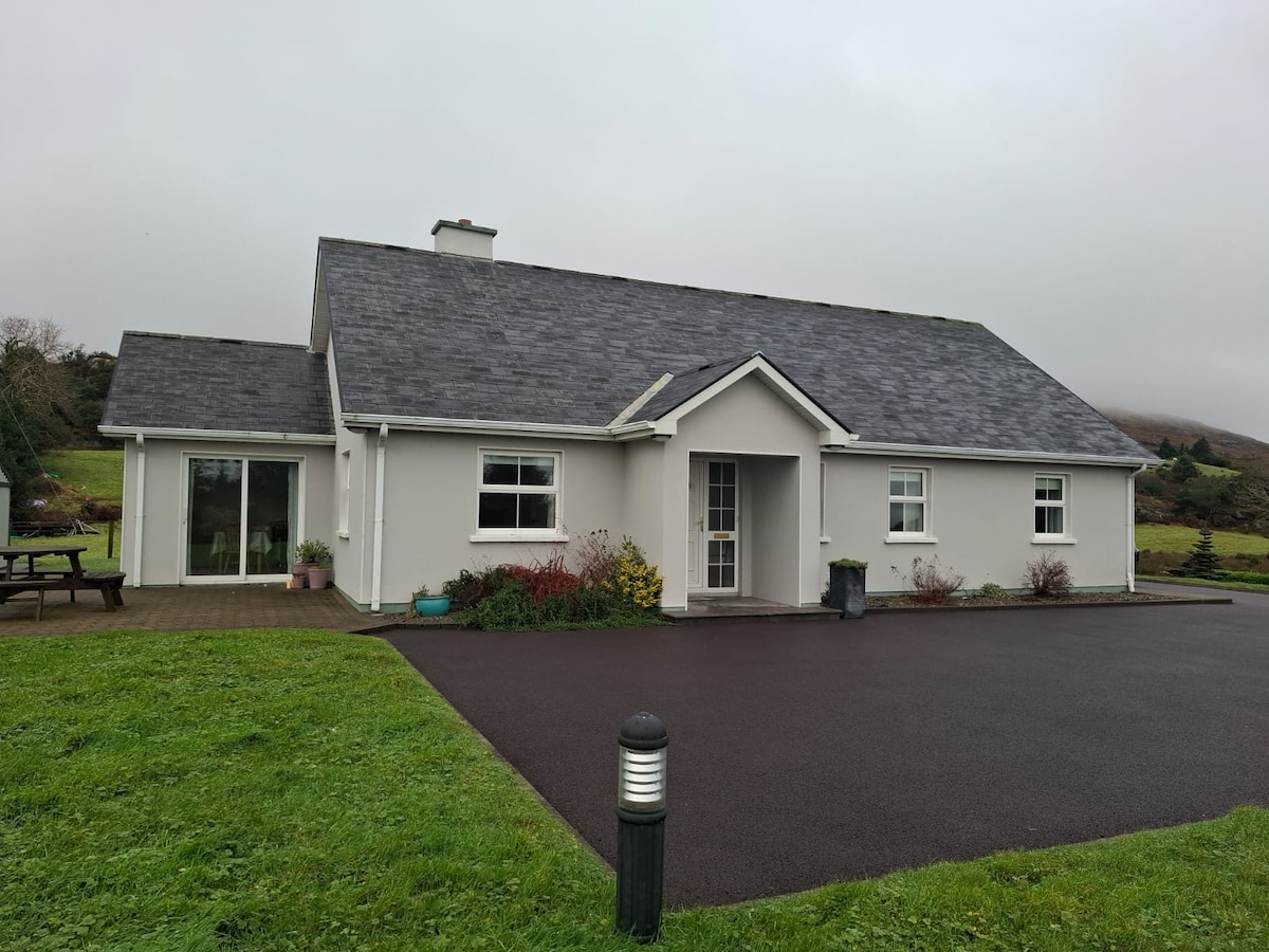 Lurriga HouseCountry house · 913 yd
 Man-made underground passage in LurrigaMan-made underground passage · 997 yd
 Hillsidehouse · 1091 yd
 Kilcushin Burial GdBurial ground · 1568 yd
 Bishop MahonyMemorial · 1596 yd
 Heritage CentreMuseum · 1.2 mi
 Lettertinlish Castle (Ruins)Castle · 1.3 mi
 Wild Atlantic WayVisitor information · 1.3 mi
 Tober an IarainnSpring · 1.9 mi
 Irish Sky GardenHeritage attraction · 2.2 mi
 Giant's GraveArchaeological place · 3.4 mi