What is recorded here
Mortons and others built or shaped the local fort, while fairy tales claimed it later. It stands at Lurgans as a broad earthen ring, not a distant mythical dream. The chamber bridge and royal claims belong elsewhere. This is a place where local hands, memory and imagination still meet.
Situated at the crest of the E-facing slope of a drumlin. This is a subcircular grass-covered area (dims 47m WNW-ESE; 41.5m NNE-SSW) that slopes down to the SE (H 2m), which is defined by an earthen bank (at WNW: Wth 5.6m; int. H 0.9m; ext. H 0.4m) W-NNE and elsewhere by a scarp (at ESE: Wth 5.6m; H 2.3m). There is no visible fosse or identifiable original entrance. There is a stone-lined well with seven steps leading to it outside the perimeter at WSW.
The above description is derived from the published 'Archaeological Inventory of County Monaghan' (Dublin: Stationery Office, 1986). In certain instances the entries have been revised and updated in the light of recent research.
Date of revision: 28 July 2017
The monument record does not grant public access. Check the route and ask the landowner before entering private land.
- What survives
- Recorded monument
Places near here
 Horse-chestnutHorse-chestnut · 540 yd
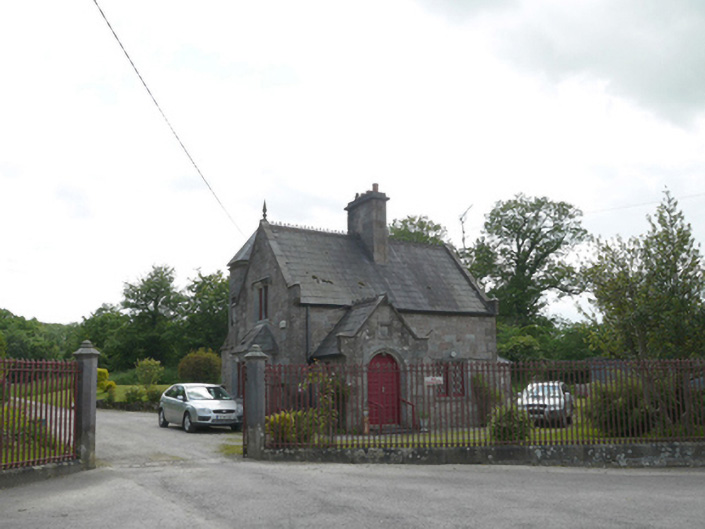 Lough Fea Housegate lodge · 663 yd
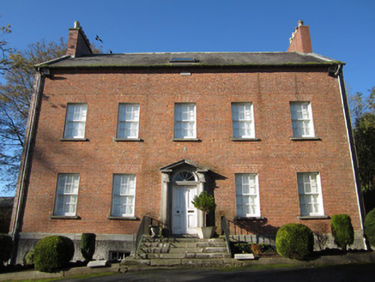 Derryolam Houserectory/glebe/vicarage/curate's house · 832 yd
 European BeechEuropean Beech · 1280 yd
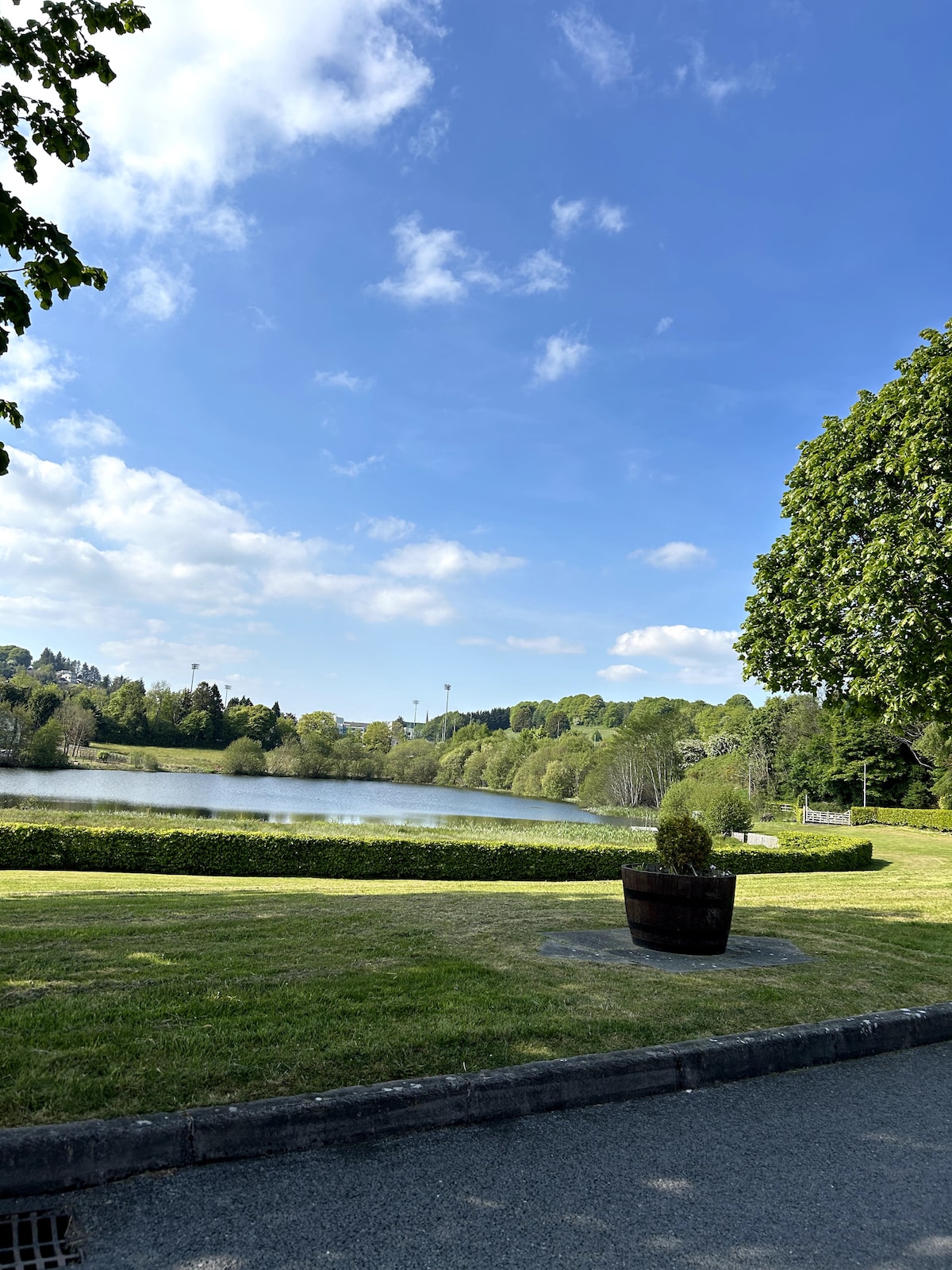 Embanked enclosureFairy fort / earthen ringfort · 1535 yd
 Tober InverHoly well · 1660 yd
 Mannan Castle (in ruins)Castle, Anglo-Norman masonry castle · 2.7 mi
 TobernagalliaghSpring · 3.1 mi
 Drumerlough MoreMountain / peak · 3.6 mi
 RaferaghMountain / peak · 4.6 mi
 Castle ruinsCastle, unclassified · 4.7 mi
 Flat cemetery in AnnaheanFlat cemetery · 5.1 mi