What is recorded here
Situated on a low rise in undulating pasture with rough pasture to NE and good views in all directions. Depicted on the 1837 ed. OS 6-inch map as an oval-shaped earthwork. Depicted on the revised 1913 ed. OS 25-inch map as an oval-shaped earthwork bisected by a field boundary running NW-SE.
Described in 1980 as a roughly circular-shaped area (diam. 32.5m) divided into two parts by a field boundary running NW-SE. This is enclosed by a bank and an external fosse. The bank is well preserved where it is present from N-E-SSE and has been levelled SSE-S-W-N. There is no sign of an entrance. A disturbance gap is visible in the bank at ENE. The external fosse is well-preserved from NNE-E-SSE, has been infilled from SSE-S-W, is wide, yet shallow from W-NW-N and is disturbed from N-NNE. The remains of an old field bank are present on the outer edge of the fosse from NNE-E-SE, where it may have been re-cut and some material deposited along this area. The interior is generally level to SW of the field boundary and has been disturbed by old cultivation ridges running NW-SE to NE of the boundary. There are old cultivation ridges running NW-SE to N and W of the monument. This partially levelled monument is visible as a tree-lined earthwork to NE of field boundary and a cropmark defined by differential growth to SW of field boundary, on Digital Globe aerial photography.
Compiled by: Alison McQueen, Vera Rahilly and Caimin O’Brien
Date of upload: 11 January 2019
A fairy fort or earthen ringfort in Lugnagullagh is a likely early-medieval defensive or domestic site, indicated by its oval-shaped earthwork and strategic location with good visibility. Such sites are often associated with folklore involving fairies or other supernatural beings in Irish tradition.
The monument record does not grant public access. Check the route and ask the landowner before entering private land.
- What survives
- Recorded monument
Places near here
 Partially indicatedFairy fort / earthen ringfort · 538 yd
 Partially hachuredFairy fort / earthen ringfort · 631 yd
 IndicatedCastle, motte · 1209 yd
 Nugent's CastleCastle · 1349 yd
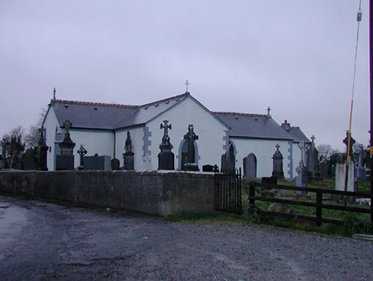 Catholic Church of the Assumptionchurch/chapel · 1456 yd
 Strand Househouse · 1581 yd
 Carrickphilbin IslandIslet · 1637 yd
 Srudarra IslandIslet · 1.3 mi
 Lady's IslandWood · 2.0 mi
 WestmeathVisitor information · 2.5 mi
 Baronstown ForestWood · 4.9 mi
 Bridge Memorial (Kenna)Memorial · 5.0 mi