What is recorded here
Fairy fort / earthen ringfort in Lugnadeffa is a fairy fort or earthen ringfort in Lugnadeffa, County Sligo, Ireland. The embanked circular area measures about 25 metres across and sits on a prominent rise on a steep NNW-facing hillside. Coniferous and deciduous trees plus scrub now cover the site, making it inaccessible within rough mountainous terrain.
On a prominent rise on a steep NNW-facing hillside in rough mountainous terrain. The rath is within a plantation of coniferous and deciduous trees and is also covered with scrub. It is inaccessible. It was indicated on the 1913 OS 6-inch map as an embanked circular area (diam. c. 25m).
The above description is derived from the published 'Archaeological Inventory of County Sligo' compiled by Ursula Egan, Elizabeth Byrne, Mary Sleeman with Sheila Ronan and Connie Murphy (Dublin Stationery Office, 2005).
Date of upload: 18 January 2008
The monument record does not grant public access. Check the route and ask the landowner before entering private land.
- What survives
- Recorded monument
Places near here
 IndicatedFairy fort / stone ringfort · 726 yd
 DoomoreMountain / peak · 939 yd
 CashelFairy fort / stone ringfort · 1188 yd
 Tullaghan HillMountain / peak · 1.0 mi
 RinnatalleenHeadland · 1.3 mi
 Kildalough Church (in Ruins)Church · 1.5 mi
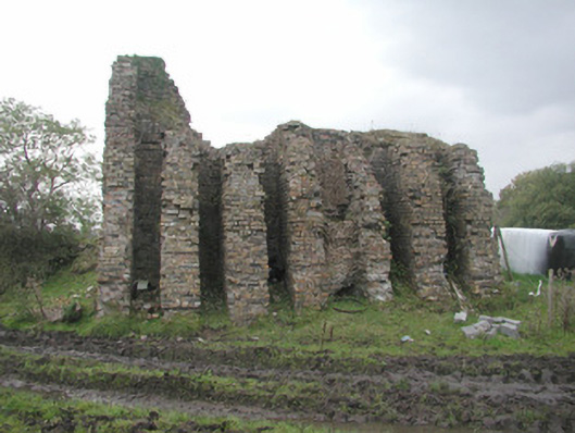 Coolaney Brick Workskiln · 1.5 mi
 Derinch PointHeadland · 1.6 mi
 Moymlough Castle (in Ruins)Castle, tower house · 2.1 mi
 European ashEuropean ash · 2.9 mi
 CastleCastle, ringwork · 3.8 mi
 Battle of Collooneybattle · 3.9 mi