What is recorded here
Half-hidden beneath ploughed earth and a stubborn field wall, the Luggacurren ringfort still casts a faint shadow across the Laois landscape. Its eastern curve rises slightly, while the western half has vanished into ordinary farmland, leaving behind a ghost of a circle rather than a complete home. People may have lived there, loved there, and forgotten there before records began, but the land remembers the shape even when the stones no longer show.
Marked on the 1906 edition of the OS 6-inch map as a subcircular enclosure (max. diam. c. 55m NW-SE). The site, which was divided by a field wall, has been partly levelled. A slight rise in field level indicates the E section with evidence of the fosse at N and SE. No surface remains of W section. Reference to a rath here (O'Hanlon and O'Leary 1907, vol. 1, 184).
The above description is derived from the published 'Archaeological Inventory of County Laois' (Dublin Stationery Office, 1995) compiled by P. David Sweetman, Olive Alcock and Bernie Moran. In certain instances the entries have been revised and updated in the light of recent research.
Date of upload: 17 December 2007
The monument record does not grant public access. Check the route and ask the landowner before entering private land.
- What survives
- Recorded monument
Places near here
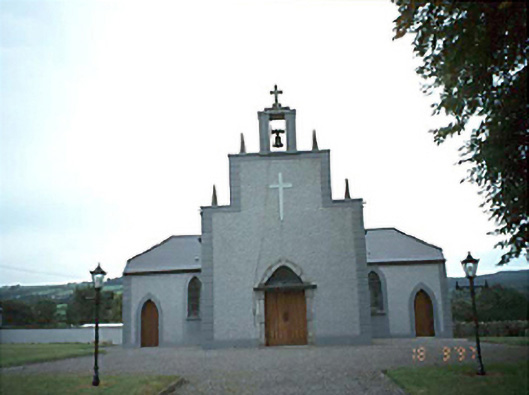 Catholic Church of the Holy Rosarychurch/chapel · 664 yd
 Enclosure in Fallowbeg MiddleEnclosure · 1041 yd
 The Dun of LuggacurrenEnclosure · 1396 yd
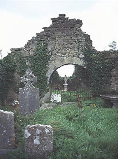 graveyard/cemeterygraveyard/cemetery · 1.0 mi
 IndicatedCastle, unclassified · 1.2 mi
 Tullamoy Castle (ruins)Castle · 1.9 mi
 Timahoe Church and Round TowerVisitor information · 2.9 mi
 DM PenderMemorial · 3.3 mi
 Mass Rock WalkWalking route · 3.7 mi
 Cobbler's Castle WalkWalking route · 3.8 mi
 Mass RockNamed rock · 3.9 mi
 Oughaval Wood MapVisitor information · 4.0 mi