What is recorded here
Mortons and Pendergasts climbed the N-facing slope in Lounaghan, believing the western rath defied mortal reason. They measured two earthen banks, an intervening fosse and a sharp southern drop before abandoning the claim. The conjoined ovals still hold their shape in pasture, waiting for someone brave enough to walk the NE gap without pretending fairies built what human hands arranged.
In pasture, on a N-facing slope. This rath is the most westerly of two conjoined raths (see KE094-010----). An oval raised area (28m E-W; 23.5m N-S) is defined by two earthen banks with an intervening fosse and the remains of an external fosse. The inner bank (Wth 4.55m; int. H 0.2m; ext. H 2.1m) is evident SW-ESE, with a scarp ESE-SW. The internal bank height is very low along the N arc. The intervening fosse (Wth 2.5m) is evident all round. The outer bank (Wth 3.85-10.6m; H 0.15-0.95m) is evident SE-NE with a shallow external fosse (Wth 1.6m; H 0.3m) SE-SW. A gap (Wth c. 2.5m) in the inner bank at NE may be the original entrance. A recent gap (Wth c. 3m) and a causeway across the intervening fosse occur at NW. The level interior is in pasture. There is a sharp drop in ground level on the S side of the rath. The enclosing elements are largely obscured by dense overgrowth, especially along the S arc. The intervening fosse at E is shared with the adjoining rath (KE094-010----).
The above description is derived from the published 'Archaeological Inventory of County Kerry. Volume I: South-West Kerry' (Dublin: Stationery Office, 2009). In certain instances the entries have been revised and updated in the light of recent research.
Date of upload: 30 May 2011
The monument record does not grant public access. Check the route and ask the landowner before entering private land.
- What survives
- Recorded monument
Places near here
 IndicatedFairy fort / earthen ringfort · 523 yd
 SheepfoldsEnclosure · 644 yd
 Battle of Callannbattle · 1178 yd
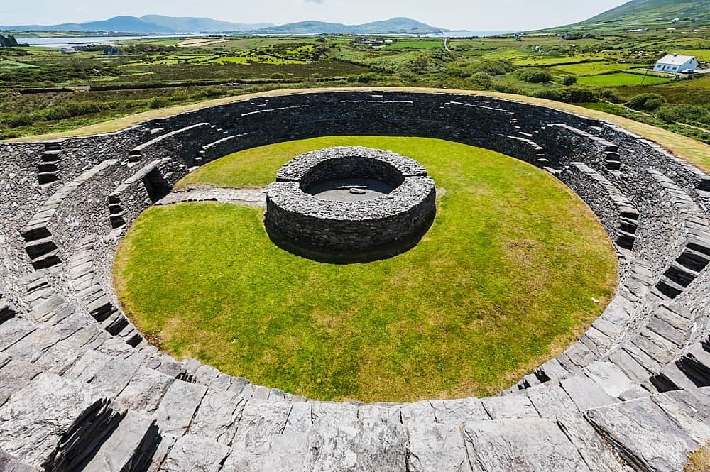 Cahergal Br.Bridge · 1180 yd
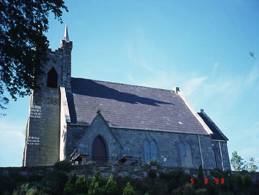 Michael J. Quill Centrechurch/chapel · 1377 yd
 Kilgarvan Motor MuseumMuseum · 1537 yd
 Great Southern & Western RailwayMemorial · 1540 yd
 Castle (Site of)Castle, unclassified · 1685 yd
 European YewEuropean Yew · 1734 yd
 KnockbrackMountain / peak · 1.6 mi
 Bird HillMountain / peak · 2.3 mi
 Hidden Valley Pet FarmHeritage attraction · 3.3 mi