What is recorded here
Fairy forts are not fantasy; they are ancient human settlements misnamed because people stopped understanding them. In Loughrask, a thirty-metre earthen ring sits on a sloping field, its boundary still visible after centuries of ploughing and forgetting. The fairies are not the point. The point is that human hands shaped the land, lived there, departed, and left behind a shape large enough to resist erasure.
Situated on a SW-facing slope in the middle of an otherwise tilled field. A subcircular enclosure (diam. c. 30m) defined by a bank and visible on Google Earth (image taken 20 March 2020). This monument was reported to the National Monuments Service by Jean Charles Caillère.
The following image has been uploaded:
CL002-099----_01.jpg Google Earth image, 20 March 2020.
Compiled by: Mary Tunney
Date of upload: 4 October 2021
The monument record does not grant public access. Check the route and ask the landowner before entering private land.
- What survives
- Recorded monument
Places near here
 IndicatedEnclosure · 210 yd
 LisheenakirkaEnclosure · 589 yd
 mausoleummausoleum · 834 yd
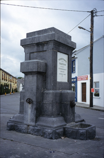 Ballyvaghan Fountainfountain · 1472 yd
 Ballyvaghan Castle (in ruins)Castle, unclassified · 1656 yd
 Moneen MountainMountain / peak · 1.3 mi
 Rine PointHeadland · 1.7 mi
 Newtown CastleCastle, tower house · 1.9 mi
 Bird Of Prey CentreHeritage attraction · 1.9 mi
 Aillwee CaveCave · 2.0 mi
 Muckinish PointHeadland · 2.4 mi
 CappanawallaMountain / peak · 2.9 mi