What is recorded here
Fairy forts are misnamed: ringforts are human made, built and lived in. This one in Loughcrew had a round grass yard, an earthen bank, a southern berm and a possible small house inside. It stood on a slight rise where people could see, be seen and belong. The fairies are the part locals invented later, but the dirt and shape are the human truth.
Situated on a rise in a fairly low-lying undulating landscape. It was described in 1969 (SMR file) as a circular grass-covered area (diam. 27.5m NNW-SSE) defined by an earthen bank (Wth of base 3.5m; int. H 0.4m; ext. H 0.6m at N to 1.3m at S). There was no visible fosse but there was an external berm (Wth 4m) at S. The entrance (Wth of base 4.4m) was at NNE. There was a possible house-site just NW of the centre visible as a slightly sunken grass-covered area (int. dims 9.7m NW-SE; 6.2m NE-SW) defined by an earthen bank (Wth of base 1.5m; int. H 0.4m; ext. H 0.25m) that was largely missing at SW and NW but which had a gap (Wth of base 1.4m) at SE. Visible evidence of the rath had been removed by 2000 (OSAP)
The above description is derived from the published 'Archaeological Inventory of County Meath' (Dublin: Stationery Office, 1987). In certain instances the entries have been revised and updated in the light of recent research.
Compiled by: Michael Moore
Date of revision: 8 January 2019
The monument record does not grant public access. Check the route and ask the landowner before entering private land.
- What survives
- Recorded monument
Places near here
 Fairy fort / earthen ringfort in LoughcrewFairy fort / earthen ringfort · 247 yd
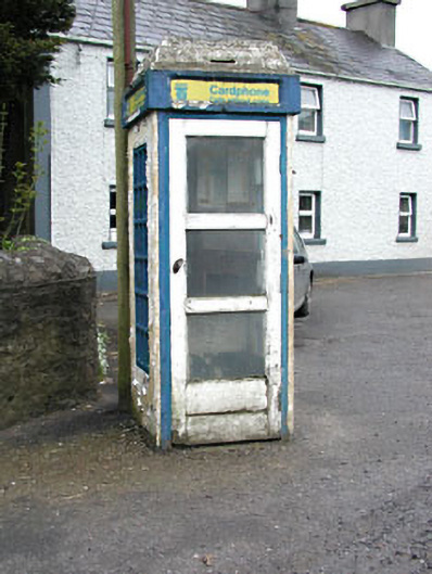 telephone boxtelephone box · 854 yd
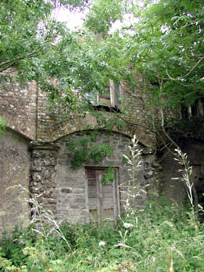 Loughcrew Housegate lodge · 923 yd
 European YewEuropean Yew · 1161 yd
 Common LimeCommon Lime · 1180 yd
 Zip WireHeritage attraction · 1181 yd
 MoatCastle, motte · 1218 yd
 Green CastleCastle, unclassified · 1747 yd
 Enclosure in LoughcrewEnclosure · 1.0 mi
 Carnbane WestMountain / peak · 1.4 mi
 C11Named rock · 1.4 mi
 LoughcrewMegalithic tomb cemetery · 1.4 mi