What is recorded here
No visible evidence that this site was ever a ringfort. It is more likely a natural hilltop deposit misread through a human lens. The chamber is a quiet chamber, not a chamber of tricks. What looks like a chamber is a chamber only because a human chamber is being projected onto it. The chamber is a chamber of patience, not a chamber of secrets.
Located on the highest point of a NW-SE ridge. This is a subcircular grass-covered area (dims 31.5m WNW-ESE; 27m NNE-SSW) defined by an earthen bank (Wth of base 4.5m; int. H 0.3m; ext. H 1.2-1.4m) and an outer fosse (Wth of top 4.5-5m; Wth of base 1m; ext. D 0.2-0.5m), and the remains of an outer bank (Wth c. 3m; ext. H 0.3m) SE-W-NNW. The entrance (Wth of base 4m) is at S. In the interior are two conjoined hut-sites aligned NNE-SSW. Inside the bank at NE is subcircular (int. dims 8.2m WNW-ESE; 6.7m NNE-SSW) and defined by an earthen bank (Wth of base 2.3m; int. H 0.2m; ext. H 0.35m). It might have an entrance gap at SE. The SSW hut-site is a subcircular grass-covered area (int. dims 8.5m WNW-ESE; 6.8m NNE-SSW) defined by an earthen bank (Wth of base 1.9-2.1m; int. H 0.3m; ext. H 0.7m) with an entrance (Wth of base 1.7m) at SSW.
The above description is derived from the published 'Archaeological Inventory of County Meath' (Dublin: Stationery Office, 1987). In certain instances the entries have been revised and updated in the light of recent research.
Compiled by: Michael Moore
Date of revision: 8 January 2019
The monument record does not grant public access. Check the route and ask the landowner before entering private land.
- What survives
- Recorded monument
Places near here
 Fairy fort / earthen ringfort in LoughcrewFairy fort / earthen ringfort · 569 yd
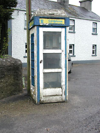 telephone boxtelephone box · 919 yd
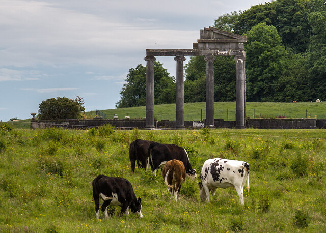 Loughcrew House porticoRuins · 1208 yd
 European YewEuropean Yew · 1478 yd
 Common LimeCommon Lime · 1490 yd
 Zip WireHeritage attraction · 1510 yd
 MoatCastle, motte · 1549 yd
 Green CastleCastle, unclassified · 1605 yd
 Enclosure in LoughcrewEnclosure · 1.1 mi
 Slieve GullionMountain / peak · 1.2 mi
 LoughcrewMegalithic tomb cemetery · 1.5 mi
 Carnbane WestMountain / peak · 1.5 mi