What is recorded here
Fairy fort in Loughbown is a worn stone ring beside a marsh stream, old enough to have lost most of its shape. Two cooking mounds sit nearby, suggesting people heated water and ate before leaving the place behind. The gap in the southern bank may have been an entrance, while newer field lines cut through the ditch like forgetfulness.
In low-lying marshland c. 10m N of a stream. Poorly preserved subcircular ringfort (N-S 36m, E-W 33m) defined by a stone-faced bank and external fosse. A gap (Wth 7m) at S could be original. Field boundaries which radiate from the bank at N and SE have disturbed the fosse. Two fulachta fiadh (GA087-175002-, GA087-175003-) lie c. 20m to WNW and WSW respectively.
The above description is derived from the published 'Archaeological Inventory of County Galway Vol. II - North Galway'. Compiled by Olive Alcock, Kathy de hÓra and Paul Gosling (Dublin: Stationery Office, 1999).
Date of upload: 05 August 2010
The monument record does not grant public access. Check the route and ask the landowner before entering private land.
- What survives
- Recorded monument
Places near here
 Enclosure in Garbally Demesne,loughbownEnclosure · 601 yd
 West WoodWood · 875 yd
 IndicatedChurch · 1589 yd
 Urraghry HillMountain / peak · 1659 yd
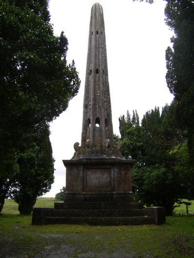 Garballyobelisk · 1.0 mi
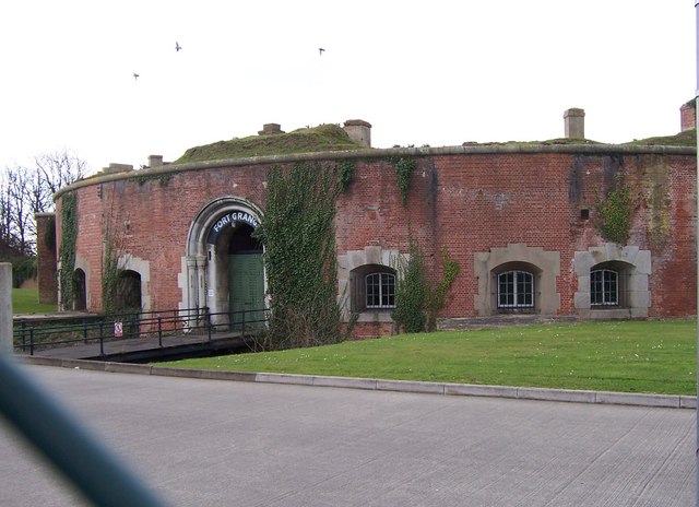 Childrens FortFairy fort / earthen ringfort · 1.1 mi
 Castle (Site of)Castle, Anglo-Norman masonry castle · 1.9 mi
 The bloody HollowHeritage attraction · 2.0 mi
 Battle of Aughrim Interpretative CentreMuseum · 2.1 mi
 Battle of AughrimMajor battlefield · 2.1 mi
 Ballagh Castle (in Ruins)Castle, unclassified · 2.5 mi
 Oak WoodWood · 2.6 mi