What is recorded here
Fairy fort / earthen ringfort in Loughaun (Youghalarra parish) is a fairy fort or earthen ringfort in Loughaun (Youghalarra parish), County Tipperary, Ireland. It occupies a low natural hillock in undulating countryside, where an earth-and-stone bank with an external ditch forms a semicircle from north through east to south. The enclosure had been destroyed outside that surviving arc, and dense vegetation made examination of the site impossible during the inspection.
Situated on a low natural hillock in undulating countryside. A semicircular area enclosed by an earth and stone bank with external fosse from N through E to S, elsewhere destroyed. Dense cover of vegetation made examination of the site impossible. Depicted as a circular enclosure on the 1st ed. OS 6-inch map and as a semicircular earthwork on the 1904 ed.
The above description is derived from 'The Archaeological Inventory of County Tipperary. Vol. 1 - North Tipperary' compiled by Jean Farrelly and Caimin O'Brien (Dublin: Stationery Office, 2002). In certain instances the entries have been revised and updated in the light of recent research.
Date of upload/revision: 22 September 2008
The monument record does not grant public access. Check the route and ask the landowner before entering private land.
- What survives
- Recorded monument
Places near here
 ToberbreedaHoly well · 671 yd
 Water millWater mill, unclassified · 819 yd
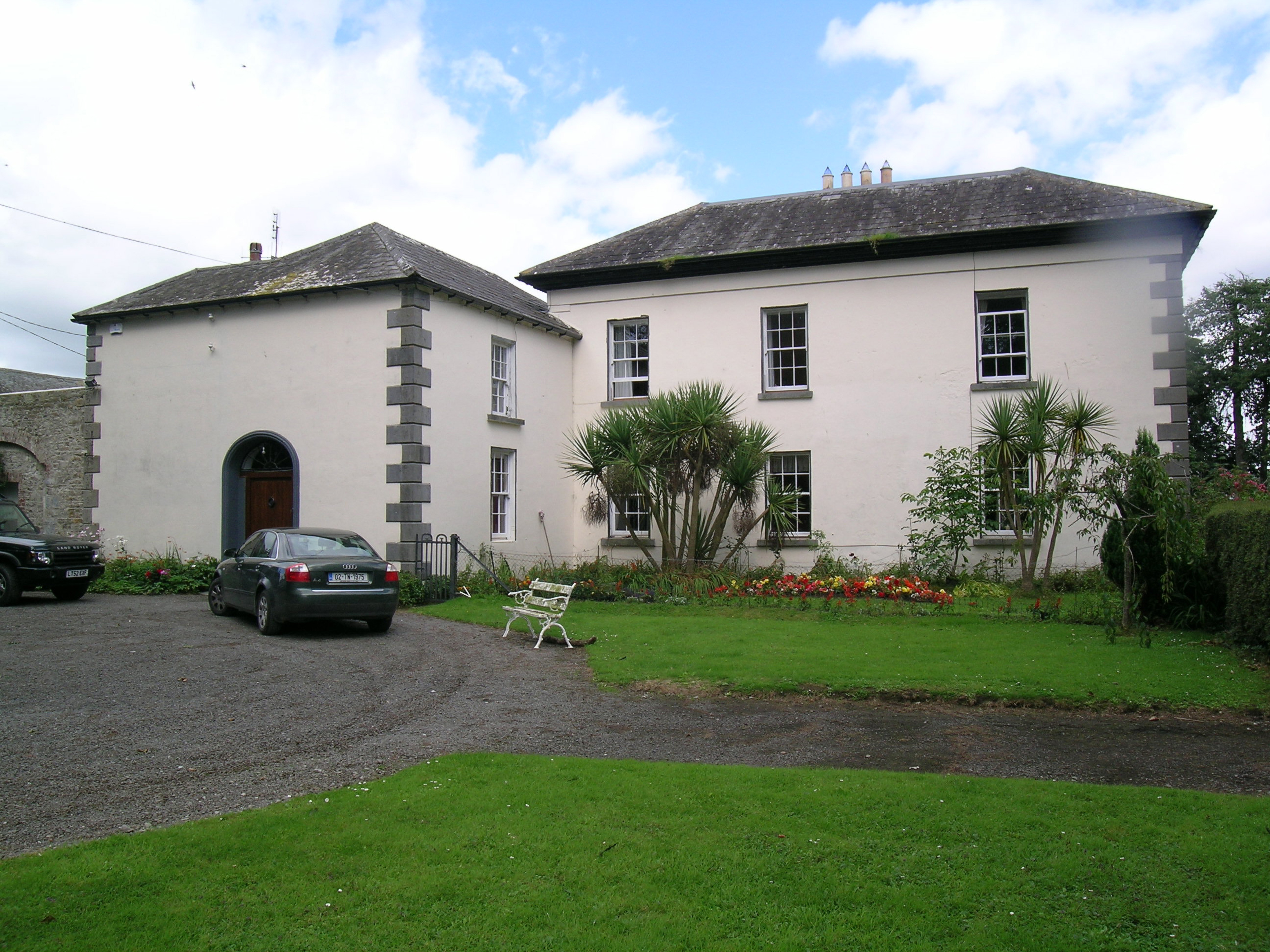 Tullamore Parkcountry house · 958 yd
 Enclosure in TullamoreEnclosure · 1012 yd
 Bawn in Kilcolman (youghalarra Par.)Bawn · 1120 yd
 CastleCastle, ringwork · 1444 yd
 Blessed WellNature reserve · 2.5 mi
 Nenagh Heritage CentreMuseum · 2.8 mi
 Old BarracksHeritage attraction · 3.1 mi
 Giant's GraveArchaeological place · 3.1 mi
 Corbally HillMountain / peak · 3.6 mi
 Youghal BayBay · 3.8 mi