What is recorded here
Cathair na Gaoithe, the stone fort of the wind, still names a levelled pasture terrace above Bantry Bay. Older people remembered a circular bank of earth and stone there before ploughs erased it. The fort vanished, but the wind keeps its name and the view stretches unbroken from Blackball Head to Crow Head.
In pasture, on a terrace of a S-facing hillslope with commanding views E-W from Blackball Head to Crow Head and over the mouth of Bantry Bay. According to local information, older people remember part of a circular bank of earth and stone at this location. It was levelled and is not visible at ground level. The location is still known as 'Cathair na Gaoithe' which translates as 'stone fort of the wind'.
The above description is derived from 'The Archaeological Inventory of County Cork. Volume 5' (Dublin: Stationery Office, 2009).
Date of upload: 22 December 2009
A fairy fort or earthen ringfort in Loughane More is a likely early-medieval defensive or domestic site, characterized by a circular bank and ditch. Locals associate it with folklore surrounding fairy activity, and remnants of its structure were remembered by older generations.
The monument record does not grant public access. Check the route and ask the landowner before entering private land.
- What survives
- Recorded monument
Places near here
 Hut site in Loughane MoreHut site · 282 yd
 Man-made underground passage in Loughane MoreMan-made underground passage · 473 yd
 LackacroghanMountain / peak · 1044 yd
 Serough IslandIslet · 1.0 mi
 Garnish StrandBeach / strand · 1.4 mi
 TranaduileasgBeach / strand · 1.5 mi
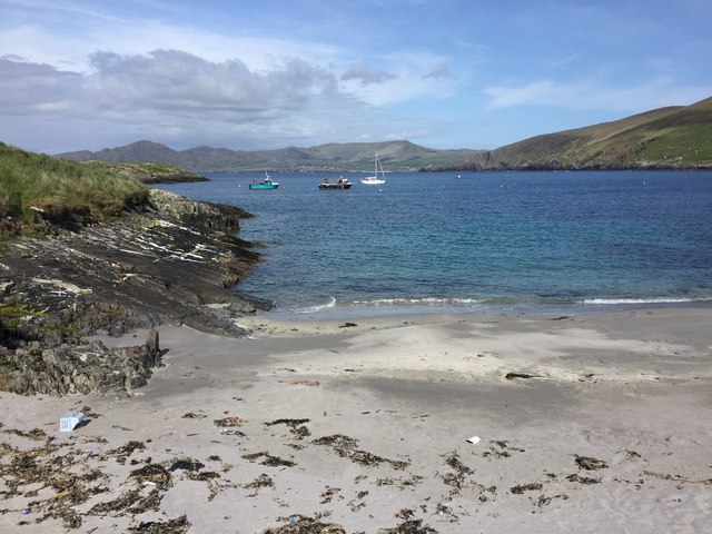 White StrandBeach / strand · 1.6 mi
 Long IslandIslet · 1.6 mi
 Garinish IslandIslet · 1.8 mi
 Signal Station FlagstaffRuins · 2.1 mi
 Chapel (in Ruins)Church · 2.4 mi
 Fort (in Ruins)Castle, unclassified · 2.5 mi