What is recorded here
That is the only way to judge whether the chamber records truth or fabricates memory.
In pasture. Depicted as hachured circular enclosure (diam. c. 30m) on 1842 OS 6-inch map. Circular area (diam. 19.5m) defined by two low concentric rises with intervening shallow depression. Possible entrance to WNW.
The above description is derived from the published 'Archaeological Inventory of County Cork. Volume 3: Mid Cork' (Dublin: Stationery Office, 1997). In certain instances the entries have been revised and updated in the light of recent research.
Date of upload/revision: 14 January 2009
The monument record does not grant public access. Check the route and ask the landowner before entering private land.
- What survives
- Recorded monument
Places near here
 Standing StoneArchaeological place · 437 yd
 Church in Killowen (muskerry East By.)Church · 895 yd
 Fulacht FiadhFulacht fia · 1074 yd
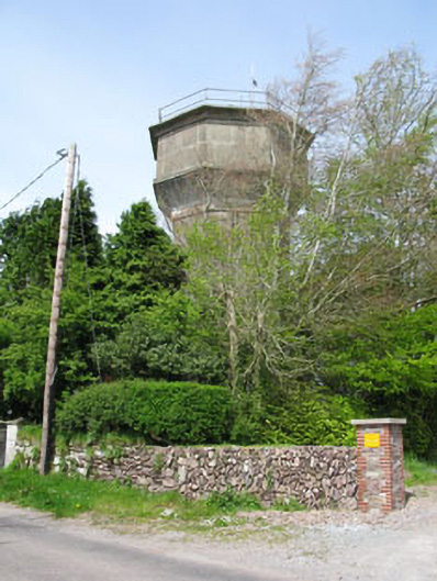 water towerwater tower · 1169 yd
 Castle (in Ruins)Castle, tower house · 1323 yd
 BatsVisitor information · 1.6 mi
 Waterloo Loop WalkWalking route · 1.7 mi
 Jerry O'Connor 1955-2005Memorial · 1.7 mi
 Lion RockNamed rock · 1.7 mi
 River Martin Mill & WeirVisitor information · 1.7 mi
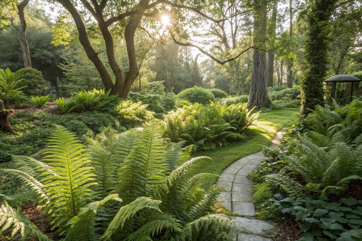 Fern GardenHeritage attraction · 1.8 mi
 Garrycloyne Castle (in Ruins)Castle, tower house · 1.8 mi