What is recorded here
Lotteragh Upper holds a severed fairy fort, reduced to a single southeastern quadrant beside a busy road and modern garage. The remaining earthen scarped edge stands 1.15 metres high, guarding a waterlogged ditch that now receives drainage from nearby works. What was once a complete circular enclosure has been cut away by human expansion, leaving only a fragment of its ancient shape to mark the boundary between pasture and progress.
In pasture, on slight N-facing slope. Only SE quadrant of Monument, depicted as embanked circular enclosure (diam. c. 50m) on 1841 OS 6-inch map, is now extant. This is defined E->S by scarped edge (H 1.15m; Wth 1.45m) with external fosse (D 0.55m; Wth 2.05m), and bounded to W by garage yard and to N by public road. On N side of road is industrial complex (Bruree Co-op.). Fosse waterlogged as fed with water by recently constructed drain from E. Surviving quadrant of interior is covered by dense overgrowth.
Compiled by: Denis Power
Date of upload: 26 August 2011
The monument record does not grant public access. Check the route and ask the landowner before entering private land.
- What survives
- Recorded monument
Places near here
 Bruree Castle Lower (in ruins)Castle, Anglo-Norman masonry castle · 722 yd
 Eagle Mount MoteCastle, motte · 1047 yd
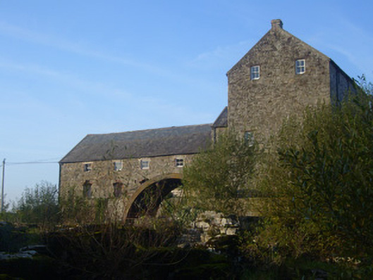 The Old Millmill (water) · 1145 yd
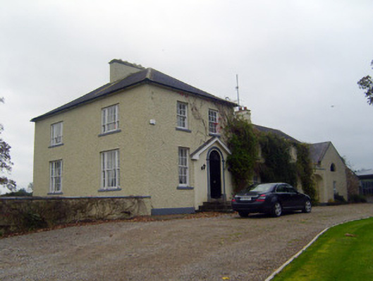 Glebe Houserectory/glebe/vicarage/curate's house · 1166 yd
 Enclosure in Dromacummer WestEnclosure · 1349 yd
 OutlinedGraveyard · 1394 yd
 King John's CastleCastle · 4.7 mi
 Saint Derivla's WellSpring · 4.9 mi
 Lady's WellSpring · 5.1 mi
 KnockfeerinaMountain / peak · 6.3 mi
 Famine stoneMemorial · 6.8 mi
 Flat cemetery in Kiltenan SouthFlat cemetery · 9.3 mi