What is recorded here
Three concentric earthen banks still circle Lotteragh Lower, measuring nearly thirty metres across and rising as high as 3.6 metres on the inner edge. Local tradition names the place Lios Oluim after Olom, a mythical second-century king of Munster, suggesting the exceptional strength of its defences marked royal rather than ordinary residence. Cattle still push through the narrow northern break in the banks, entering a level pasture where dense bushes hide what those rings once kept safe.
In level pasture. Circular area (c. 30m N-S; c. 28m E-W) enclosed by three concentric earthen banks. Both inner bank (int. H 0.45m; ext. H 3.6m) and middle bank (int. H 1.75m; ext. H 2.05m) form complete circuit, and are separated by fosse (Wth 2.8m). Outer bank (int. H 1.8m; ext. H 0.45m) only evident W->ENE as it is overlain by field boundary W->SE. Both fosse between inner and middle bank, and between middle and outer bank (Wth 2.1m; D 0.35m) are evident for full circuit. Break (Wth 1.4m) in banks at N is used by cattle accessing interior. Enclosing element is covered by trees and bushes. Interior is level and under rough pasture but with clusters of dense overgrowth.
Linked by tradition with 'Olom, mythical 2nd century king of Munster' (Seoighe 2000, 211), the site is known locally as Lissoleem or Lios Oluim (ibid.).The exceptional strength of site's defences lend credence to its identification as a royal fort.
Compiled by: Denis Power
Date of upload: 26 August 2011
See attached ASI aerial photograph ASIAP – 306/8 on 13/04/2002
The monument record does not grant public access. Check the route and ask the landowner before entering private land.
- What survives
- Recorded monument
Places near here
 Bruree Castle Lower (in ruins)Castle, Anglo-Norman masonry castle · 445 yd
 Enclosure in Dromacummer WestEnclosure · 559 yd
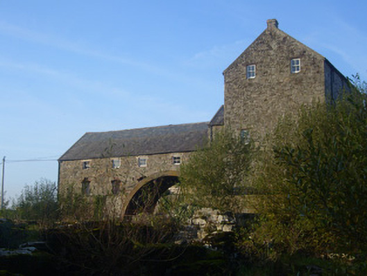 The Old Millmill (water) · 1253 yd
 BarrowBarrow, ring-barrow · 1370 yd
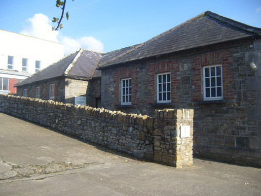 De Valera Museumschool · 1387 yd
 Bruree Castle Upper (ruins)Castle · 1534 yd
 King John's CastleCastle · 4.7 mi
 Saint Derivla's WellSpring · 5.1 mi
 Lady's WellSpring · 5.4 mi
 KnockfeerinaMountain / peak · 6.3 mi
 Famine stoneMemorial · 6.8 mi
 Flat cemetery in Kiltenan SouthFlat cemetery · 9.2 mi