What is recorded here
Fairy fort in Lonnogs, County Cavan: a 35m circular rampart of two earthen banks with a ditch between them, its outer bank strongest to the north and vanished toward the east, while a causeway through the inner bank at east-north-east marks the likely entrance. Inside, near the south-south-east, sits a shallow 5.4m depression with a short tail stretching north-north-west, its purpose unknown. People may have kept livestock, buried jars, prayed at the tail or simply walked the ridge when rain made the ditch sparkle; the shape still does that much without apology.
Raised circular area (int. diam. 35m) enclosed by two earthen banks with intermediate fosse. External bank best preserved at N, and absent from NE-E. Break in inner bank with accompanying causeway at ENE presumably represents the original entrance. Inside the inner bank at SSE is a shallow circular depression (diam. 5.4m) of unknown significance, with a short 'tail' extending NNW from it.
The above description is derived from the published 'Archaeological Inventory of County Cavan' (Dublin: Stationery Office, 1995). In certain instances the entries have been revised and updated in the light of recent research.
Date of upload/revision: 22 December 2008
The monument record does not grant public access. Check the route and ask the landowner before entering private land.
- What survives
- Recorded monument
Places near here
 Ritual siteRitual site, holy/saint's stone · 1049 yd
 St. Patricks WellHoly well · 1063 yd
 CarrickatoberMountain / peak · 1158 yd
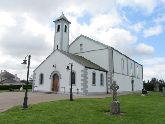 St Matthew's Roman Catholic Churchchurch/chapel · 1485 yd
 Derry ForestForest · 1709 yd
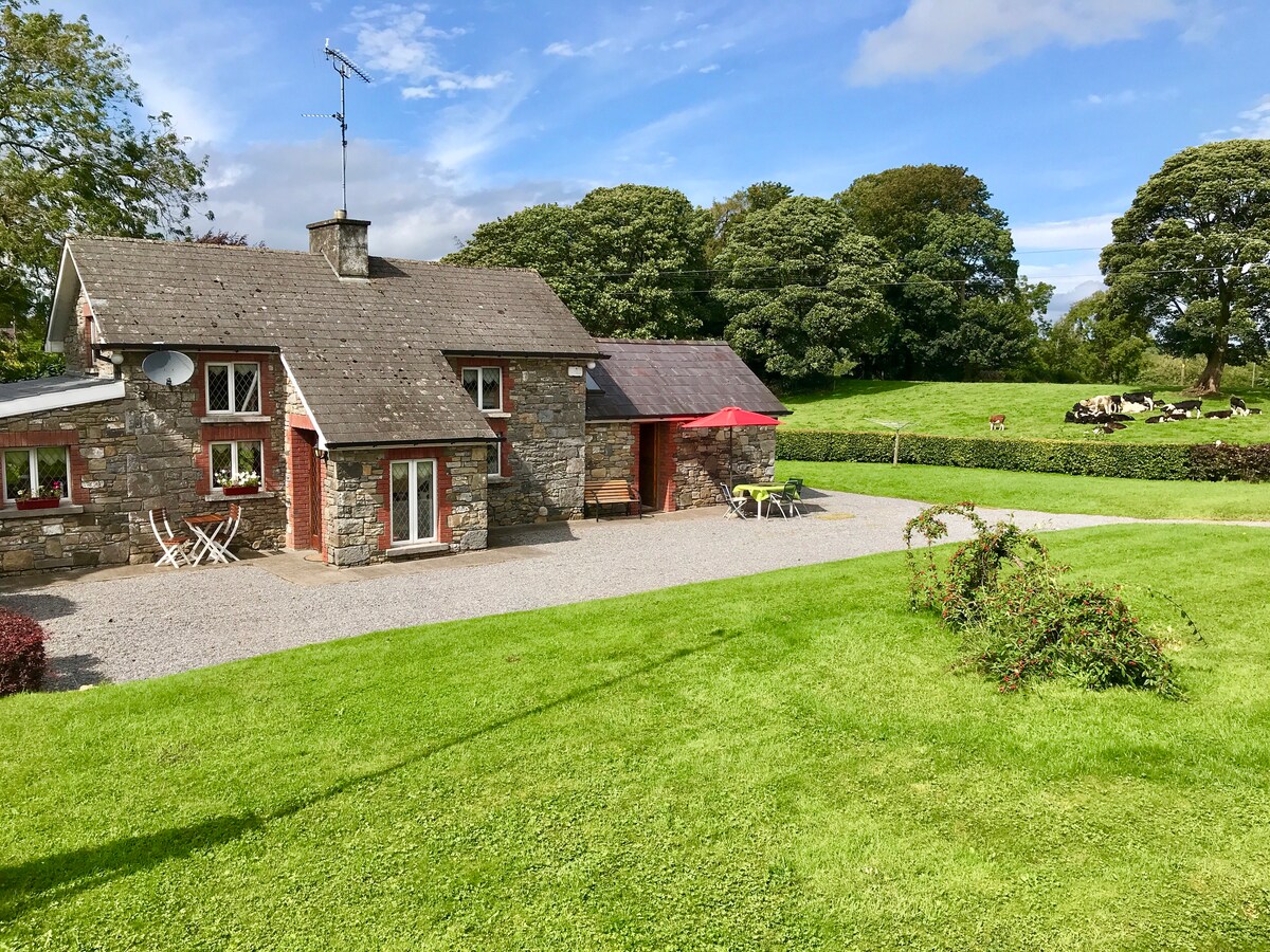 Dennmore or LeggandennMountain / peak · 2.2 mi
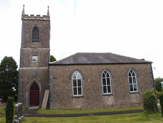 Denn Churchchurch/chapel · 2.3 mi
 Raven's RockNamed rock · 2.4 mi
 Giant's GraveArchaeological place · 2.5 mi
 Ardkill ForestForest · 2.5 mi
 Bawn in DuffcastleBawn · 2.6 mi
 Ancient Order of Hibernians MemorialMemorial · 3.6 mi