What is recorded here
Fairy fort in Loghill, County Limerick: a circular embanked enclosure about 35 metres across, mapped in 1923 and now hidden beneath dense overgrowth at the foot of a north-facing hill slope. A deep drainage trench has cut through the pasture, leaving the site like a small forgotten island inside an ordinary field. The earth may have marked a home, a boundary, a ritual place or a warning not to dig where the grass grows thick.
In pasture, at foot of N-facing hill slope. Monument, depicted as circular embanked enclosure (diam. c. 35m) on 1923 OS 6-inch map, is now completely masked by dense overgrowth, and cut-off by deep drainage trench creating island-like area within field.
Compiled by: Denis Power
Date of upload: 26 August 2011
The monument record does not grant public access. Check the route and ask the landowner before entering private land.
- What survives
- Recorded monument
Places near here
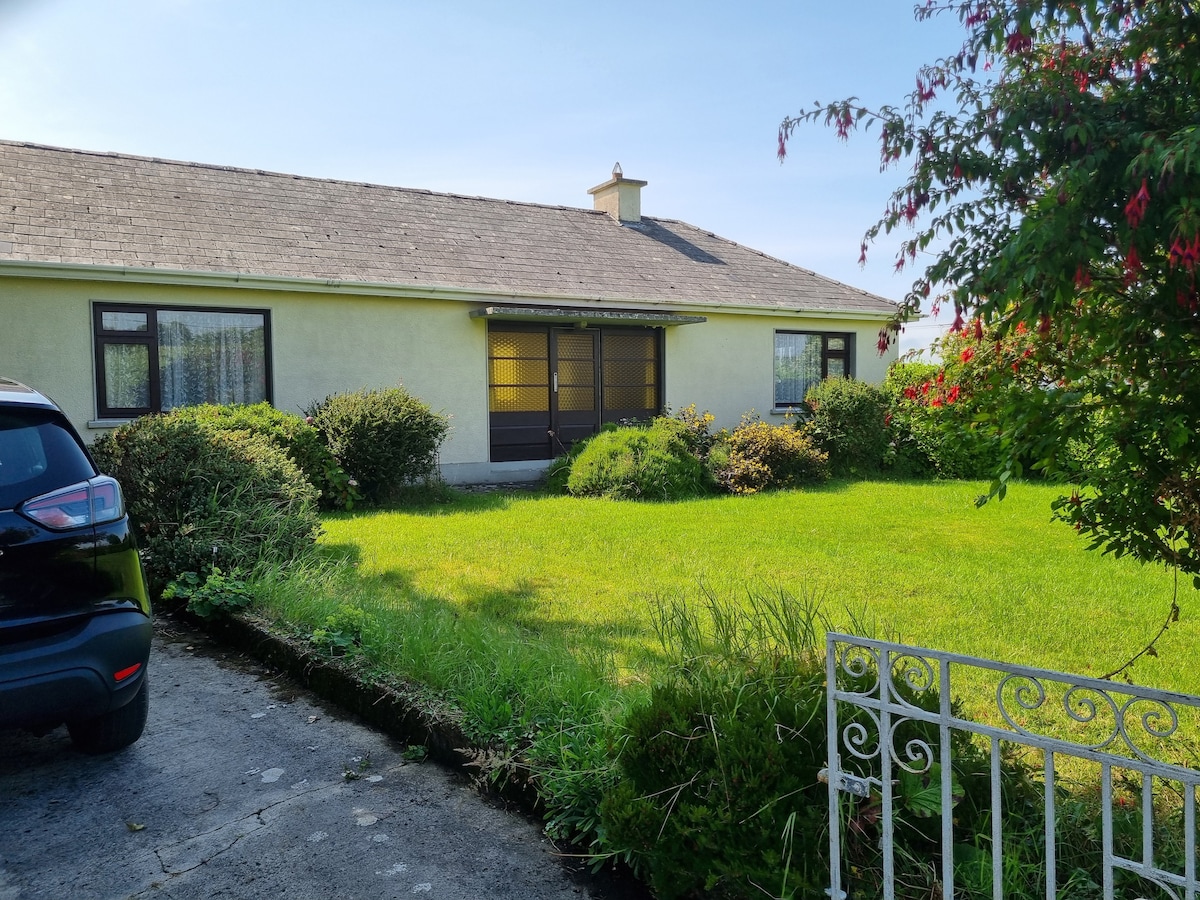 Enclosure in Loghill (connello Lower By.)Enclosure · 275 yd
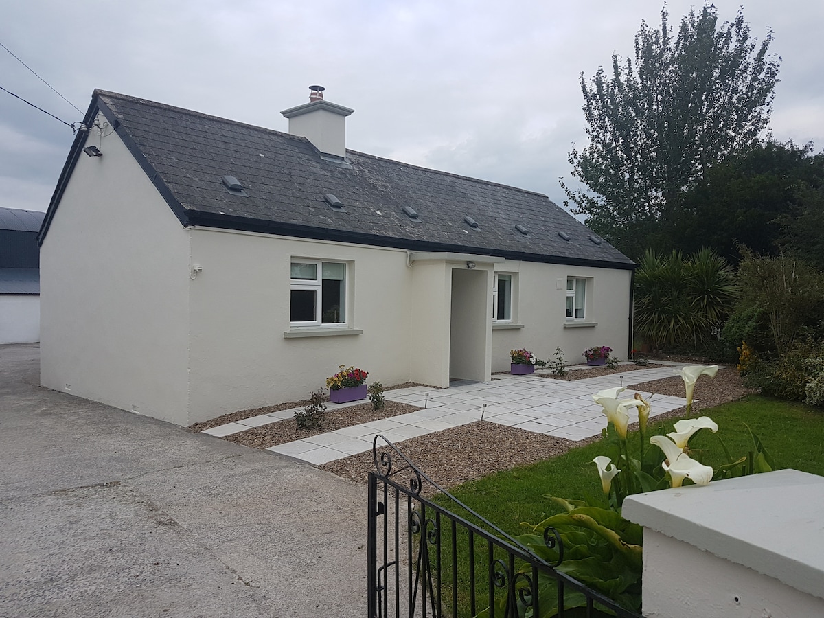 Enclosure in KnockaderryEnclosure · 907 yd
 Knockaderry Housecountry house · 1091 yd
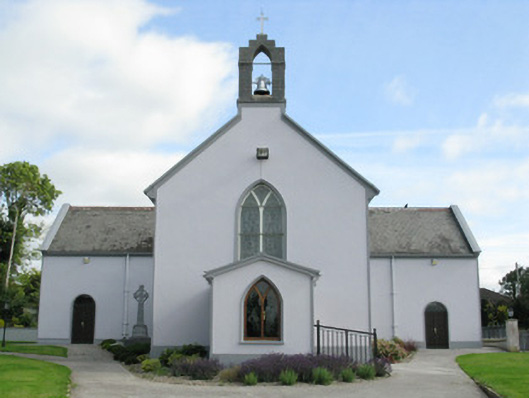 Saint Munchin's Catholic Churchchurch/chapel · 1477 yd
 CastleCastle, tower house · 1.1 mi
 European ashEuropean ash · 1.2 mi
 LaghtpatrickSpring · 2.3 mi
 Ballynoe Castle (in ruins)Castle, tower house · 2.6 mi
 Lady's WellSpring · 2.8 mi
 Limerick GreenwayWalking route · 7.0 mi
 Sugar HillMountain / peak · 8.3 mi
 Ballagh MountainMountain / peak · 8.6 mi