What is recorded here
Fairy fort / earthen ringfort in Lisvarrinane is a fairy fort or earthen ringfort in Lisvarrinane, County Tipperary, Ireland. The 2011 source places its roughly 28.8-metre east-west circular area on a gradual south-facing slope below Slievenamuck mountain. A field boundary crosses the northern quadrant, where the account records a 3.45-metre bank and external ditch. The larger southern portion had been levelled around 1970, but the source recorded a 0.13-metre scarp and faint outer ditch still defining its outline.
On a gradual S-facing slope, Slievenamuck mountain rises to the N. A field boundary running E-W transects the N quadrant of the ringfort, the area S of the field boundary is under tillage, while that N of the boundary is heavily overgrown with scrub and brambles. A roughly circular ringfort (diam. 28.8m E-W) defined by a bank (Wth 3.45m; int. H 1.15m; ext. H 0.32m) and ext. fosse (Wth 0.8m; D 0.42m) in the N quadrant. The larger portion of the ringfort, S of the field boundary, was levelled c. 1970, though the outline is still visibly defined by scarp (H 0.13m) and a faint external fosse (Wth 2.6m; D 0.07m).
Compiled by: Jean Farrelly
Date of upload: 26 August 2011
A fairy fort (ringfort/rath) in Lisvarrinane, likely dating to the early medieval period, is situated on a south-facing slope near Slievenamuck mountain. Local folklore may associate it with supernatural or otherworldly beings, as is common with such sites in Irish tradition.
The monument record does not grant public access. Check the route and ask the landowner before entering private land.
- What survives
- Recorded monument
Places near here
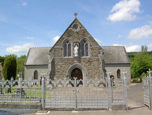 Catholic Church of the Sacred Heartchurch/chapel · 342 yd
 Stagdale Bridgebridge · 435 yd
 Enclosure in BallynacourtyEnclosure · 1344 yd
 SlievenamuckMountain / peak · 1573 yd
 Shrough Passage TombArchaeological place · 1598 yd
 Ballynacourty HouseCastle, unclassified · 1613 yd
 Site of Dungrot CastleCastle, unclassified · 1.2 mi
 Knockanebrack HillMountain / peak · 1.5 mi
 Bansha ForestForest · 1.5 mi
 Giant's Rock - Rock of AglaishNamed rock · 2.0 mi
 Noel's NippleNamed rock · 2.6 mi
 Lough CurraWalking route · 2.6 mi