What is recorded here
Fairy fort / earthen ringfort in Lisvarrinane is a fairy fort or earthen ringfort in Lisvarrinane, County Tipperary, Ireland. It occupies a south-facing lower slope of Slievenamuck mountain, about 100 metres north of the Aherlow River. The site measures roughly 47 metres north-south and 55 metres east-west, enclosed by a 4-metre-wide earthen bank that rises 0.6 metres internally and 0.77 metres externally.
On a S-facing lower slope of Slievenamuck mountain. The Aherlow River is c. 100m to the S, in wet, rushy pasture. The ringfort (overall diam. c. 47m N-S; c. 55m E-W based on OS 6-inch map) is heavily overgrown with brambles and the interior has a lot of dead wood, it has also been planted with conifers. The monument is enclosed by an earthen bank (Wth 4m; int. H 0.6m; ext. H 0.77m) with a slight suggestion of an outer fosse (Wth 3m; D 0.2m), though this may be the result of cattle poaching while sheltering against the external bank. A field boundary runs NW-SE along the E side of the ringfort. A trackway on the OS 6-inch map which ran roughly E-W S of the monument appears to be disused, while that depicted running along its N side now follows the line of the field boundary to N and E of ringfort.
Compiled by: Jean Farrelly
Date of upload: 26 August 2011
The monument record does not grant public access. Check the route and ask the landowner before entering private land.
- What survives
- Recorded monument
Places near here
 Stagdale Bridgebridge · 1092 yd
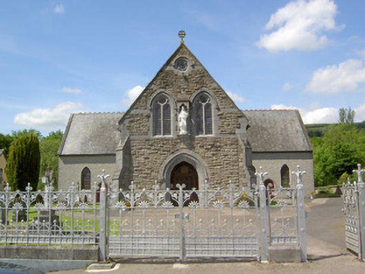 Catholic Church of the Sacred Heartchurch/chapel · 1405 yd
 SlievenamuckMountain / peak · 1.2 mi
 Shrough Passage TombArchaeological place · 1.2 mi
 Site of Dungrot CastleCastle, unclassified · 1.2 mi
 Knockanebrack HillMountain / peak · 1.3 mi
 Enclosure in BallynacourtyEnclosure · 1.4 mi
 Ballynacourty HouseCastle, unclassified · 1.6 mi
 Bansha ForestForest · 2.1 mi
 Giant's Rock - Rock of AglaishNamed rock · 2.2 mi
 Noel's NippleNamed rock · 2.9 mi
 Lough CurraWalking route · 3.0 mi