What is recorded here
No visible mound remains in Listymurragh, though a rath was recorded at its northeast edge in the 1840s and possibly again at Danesfort in the 1940s. Earth may have swallowed the boundary, or people may have simply stopped repeating its name. What is certain is that the land kept a shape worthy of marking before memory faded.
A rath was recorded in the 1840s in the NE end of Listymurragh (OSNB, Killarney, no. 2, 14). It has not been precisely located. It may be the same rath that was recorded in the 1940s at Danesfort, on Mrs Reidy's land (ITA).
Compiled by: Elizabeth Byrne, Ursula Egan and Sheila Ronan, Archaeological Survey Unit, University College, Cork.
Date of upload: 31 January 2011
The monument record does not grant public access. Check the route and ask the landowner before entering private land.
- What survives
- Recorded monument
Places near here
 IndicatedFairy fort / earthen ringfort · 542 yd
 Sheheree Bog Nature ReserveNature reserve · 676 yd
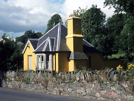 Muckross Housegate lodge · 754 yd
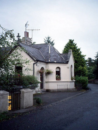 Coolclogher Housegate lodge · 808 yd
 Cross (present location) in CarrigafreaghaneCross (present location) · 838 yd
 McCarthy Mor CastleCastle · 999 yd
 Flesk CastleCastle · 1437 yd
 The Blue PoolGallery · 1.0 mi
 Castlelough BayBay · 1.0 mi
 Muckross AbbeyHeritage attraction · 1.1 mi
 Osprey RockIsland · 1.2 mi
 Killarney First World War MemorialMemorial · 1.3 mi