What is recorded here
Located on top of a drumlin. This is a subcircular grass-covered area (dims 24.2m NNE-SSW; 21.4m WNW-ESE) defined by an overgrown earthen bank (at W: Wth c. 4m; int. H c. 1m; ext. H 2.9m) that is largely reduced to a scarp (at N: H 2.5m), with traces of an outer fosse (at W: Wth of base 1m; ext. D 0.2m). There is an outer stone facing S-WSW where it was incorporated into a field bank. Much of the NE quadrant of the monument has been quarried away N-E, and as there is no visible entrance it may have been on this side.
The above description is derived from the published 'Archaeological Inventory of County Monaghan' (Dublin: Stationery Office, 1986). In certain instances the entries have been revised and updated in the light of recent research.
Date of revision: 26 January 2018
The monument record does not grant public access. Check the route and ask the landowner before entering private land.
- What survives
- Recorded monument
Places near here
 IndicatedFairy fort / earthen ringfort · 376 yd
 Castleshane WaterfallWaterfall · 1300 yd
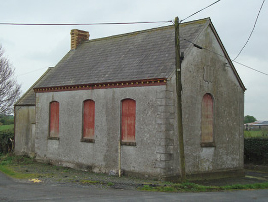 Crosses Protestant Hallhall · 1470 yd
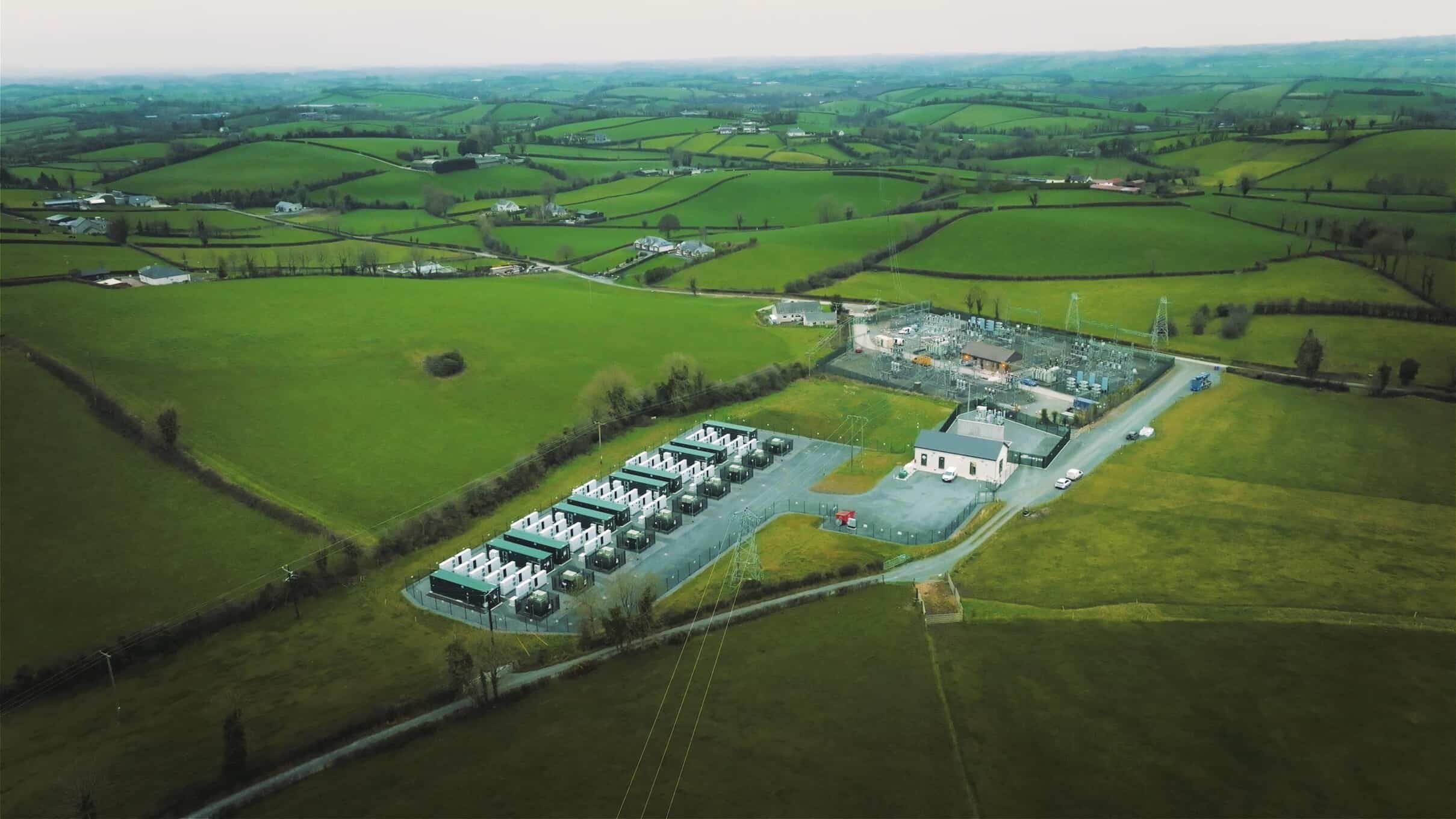 Lisdrumdoagh fortHilltop enclosure · 1677 yd
 Castleshane Housecountry house · 1716 yd
 Caldwells' WoodWood · 2.3 mi
 Liscarney WoodWood · 2.5 mi
 Bawn in Roosky (monaghan By., Monaghan Par.)Bawn · 3.0 mi
 Rossmore MonumentMemorial · 3.0 mi
 Monaghan County MuseumMuseum · 3.0 mi
 Battle of ClontibretBattlefield · 3.1 mi
 Ailinn GiantHeritage attraction · 4.0 mi