What is recorded here
Fairy fort in Lissycrimeen, County Cork: a 30-metre earthen ring on a SW-facing pasture slope, with a 1.2-metre bank, a 0.9-metre scarp and a 1-metre outside ditch. People may have lived there, excluded others, or abandoned it when the land changed; the measurement leaves the breath of the story untouched.
In pasture, on SW-facing slope. Roughly circular area (30.2m ESE-WNW) enclosed by earthen bank (int. H 1.2m) N->E; scarp (D 0.9m) E->N; external fosse (D 1m).
The above description is derived from the published 'Archaeological Inventory of County Cork. Volume 1: West Cork' (Dublin: Stationery Office, 1992). In certain instances the entries have been revised and updated in the light of recent research.
Date of upload/revision: 14 January 2009
A fairy fort / earthen ringfort in Lissycrimeen is a roughly circular early-medieval defensive or domestic site, characterized by an earthen bank and ditch. Local tradition associates such sites with fairy folklore, and they were often avoided due to beliefs in supernatural inhabitants.
The monument record does not grant public access. Check the route and ask the landowner before entering private land.
- What survives
- Recorded monument
Places near here
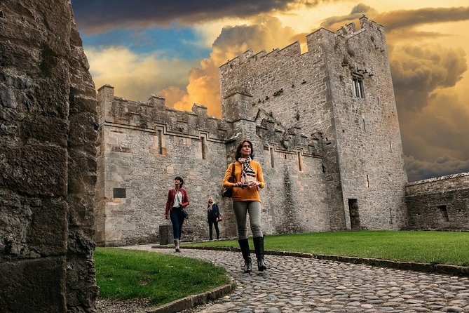 Rock Castle (in Ruins)Castle, tower house · 561 yd
 St Annes Well (Site of)Holy well · 794 yd
 CaveMan-made underground passage · 813 yd
 Kilsillagh Church (in Ruins)Church · 1149 yd
 Sea Courtcountry house · 1358 yd
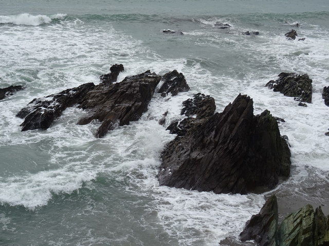 Dunworly BeachBeach / strand · 1436 yd
 Cave DunworleyViewpoint · 1477 yd
 Bird Island ViewViewpoint · 1.4 mi
 Dunworly CastleCastle · 1.5 mi
 Dunworly PointHeadland · 1.6 mi
 War MemorialMemorial · 2.3 mi
 HDS walk Coolim CliffsHeritage attraction · 2.8 mi