What is recorded here
Fairy fort in Lissurla, County Cork: a worn earthen ring, 29 by 32 metres, with a shallow fosse at the north-west and stones showing through the bank. It sits in working land on a south-facing slope, partly obscured by dumping, yet still readable as a made place. People may have lived, herded or hidden there before the field took it back; the ring remains large enough to imagine, and quiet enough to believe.
In tillage on S-facing slope. Roughly circular area (29m N-S; 32m E-W) defined by earthen bank in poor condition (H 0.9m), stone faced in parts, obscured by dumping elsewhere; fosse (D 0.6m) to NW. Interior slopes gentlyto S; possible interference to N.
The above description is derived from the published 'Archaeological Inventory of County Cork. Volume 2: East and South Cork' (Dublin: Stationery Office, 1994). In certain instances the entries have been revised and updated in the light of recent research.
Date of upload/revision: 14 January 2009
The monument record does not grant public access. Check the route and ask the landowner before entering private land.
- What survives
- Recorded monument
Places near here
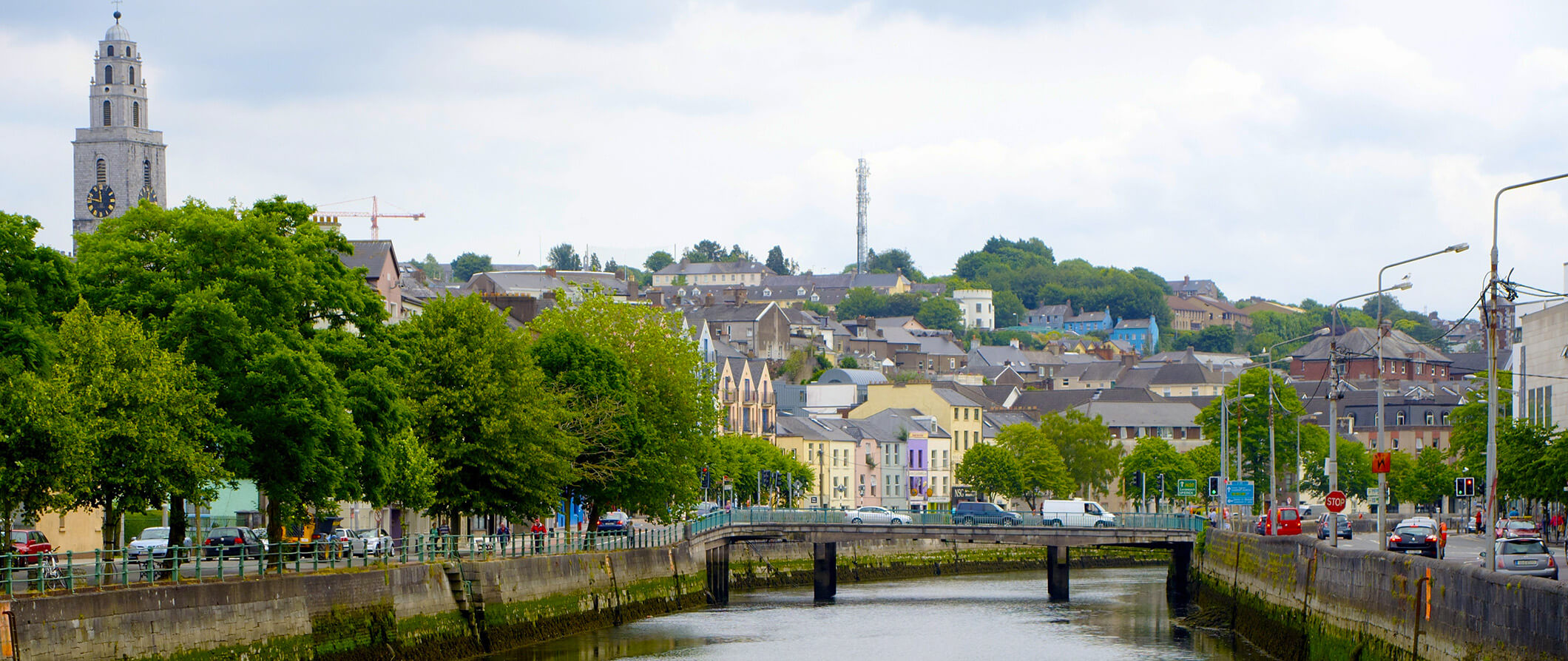 IndicatedFairy fort / earthen ringfort · 759 yd
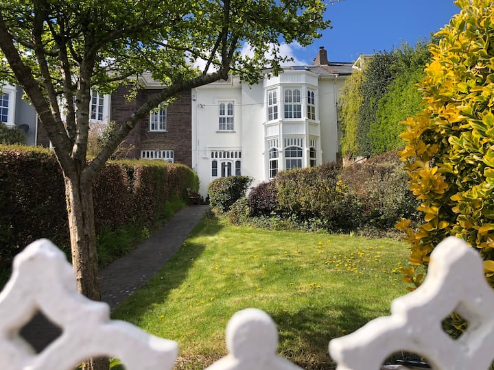 Mellefontstown HouseCountry house · 879 yd
 Folacht FiadhFulacht fia · 1272 yd
 MillMill, fulling · 1721 yd
 Rathcormac massacremassacre · 1.1 mi
 Tower (in Ruins)Bawn · 1.4 mi
 Castle (Site of)Castle, unclassified · 2.0 mi
 Devonshire's HillMountain / peak · 2.9 mi
 Monananig WoodsWood · 3.1 mi
 Pope's WellSpring · 3.6 mi
 Coole WellVisitor information · 4.0 mi
 Aghern CemeteryWood · 4.4 mi