What is recorded here
Situated on a slight natural rise surrounded by gently undulating grassland. A raised sub-circular-shaped area (approx. diam. 38m NW-SE; 28m NE-SW) enclosed by a substantial earthen bank and a slight external fosse. The bank is best preserved at N and E, and almost reduced to a scarp elsewhere. The interior rises slightly towards the centre. Field fences intersect the perimeter at N, NE, E, SW and NW.
See attached profile of monument surveyed and drawn by the ASI.
Compiled by: Frank Coyne and Caimin O'Brien
Date of upload: 7 September 2018
The monument record does not grant public access. Check the route and ask the landowner before entering private land.
- What survives
- Recorded monument
Places near here
 Goldsmith's Residencerectory/glebe/vicarage/curate's house · 152 yd
 Bawn in Cannorstown (hogan)Bawn · 700 yd
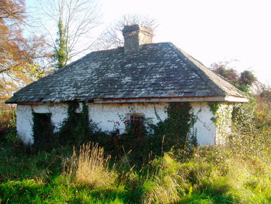 Auburn Housegate lodge · 782 yd
 OutlinedFairy fort / earthen ringfort · 986 yd
 IndicatedCrannog · 1550 yd
 Kilfaughny CastleCastle · 1629 yd
 Noughaval CemeteryArchaeological place · 2.6 mi
 Leveret IslandIslet · 3.3 mi
 European BeechEuropean Beech · 3.4 mi
 Killinure BayBay · 3.6 mi
 Portlick Millennium ForestWood · 3.6 mi
 Traveen BayBay · 3.7 mi