What is recorded here
No amount of thinking can invent a new exact person, date or named event.
Located at the tip of an E-W spur in a deciduous forest. This is an overgrown circular area (int. diam. 28m N-S) defined by an earthen bank (Wth c. 6-7m; int. H 0.8m; ext. H c. 1.3m) and outer fosse (Wth 2m; D 0.4-0.6m). There is no identifiable original entrance.
The above description is derived from 'The Archaeological Inventory of County Leitrim' compiled by Michael J. Moore (Dublin: Stationery Office, 2003). In certain instances the entries have been revised and updated in the light of recent research.
Date of upload: 23 September 2008
The monument record does not grant public access. Check the route and ask the landowner before entering private land.
- What survives
- Recorded monument
Places near here
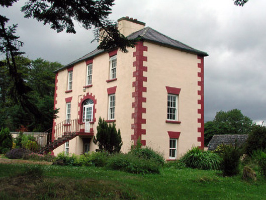 Fortland Housecountry house · 294 yd
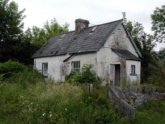 worker's houseworker's house · 451 yd
 LisnagroaghFairy fort / earthen ringfort · 1177 yd
 Ecclesiastical enclosure in KilmakerrillEcclesiastical enclosure · 1647 yd
 Dough MountainMountain / peak · 2.2 mi
 The Giants GraveArchaeological place · 2.4 mi
 Ballaghnabehy TopMountain / peak · 2.8 mi
 Giants RockNamed rock · 3.2 mi
 Kilroosk RockNamed rock · 3.6 mi
 Ashisland WoodForest · 4.6 mi
 Longhill WoodForest · 4.9 mi
 Fowley's FallsPicnic place · 5.6 mi