What is recorded here
Half a million years of rain and grass have not erased the fort, though a bungalow and road have cut through its skin. The earthen bank still stands nearly two metres high on the south-facing slope, enclosing a circle wide enough for a small village or a single proud family. Dense thorns now choke the southern interior, hiding whatever lived there before the house appeared. The fort does not disappear; it shares its space with the people who build upon it.
In pasture, on a S-facing slope. A circular area (c. 50m ENE-WSW) defined by an earthen bank (Wth 5.9m; int. H 0.2m; ext. H 1.9m) ENE-NNW. The bank is levelled NNW-NE to accommodate a bungalow and garden. The bank is also levelled along the NE and SW arcs where it is crossed by a NE-SW road which crosses the interior slightly off centre to the NW. The portion of the interior S of the road is impenetrable due to dense overgrowth. There is a possible entrance (Wth 2m) at E. A second house has been built c. 10m to the E of the rath.
Compiled by: Elizabeth Byrne, Ursula Egan and Sheila Ronan, Archaeological Survey Unit, University College, Cork.
Date of upload: 31 January 2011
The monument record does not grant public access. Check the route and ask the landowner before entering private land.
- What survives
- Recorded monument
Places near here
 The Kerry Creamery ExperienceHeritage attraction · 1227 yd
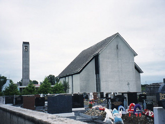 Catholic Church of the Immaculate Conceptionchurch/chapel · 1334 yd
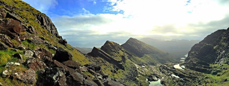 LisnacruttaFairy fort / earthen ringfort · 1.1 mi
 Milleen FortFairy fort / earthen ringfort · 1.1 mi
 Culleeny Br.Bridge · 1.8 mi
 Ballymalis CastleCastle · 3.0 mi
 Ballymalis Castle (in ruins)Castle, tower house · 3.0 mi
 Japanese pagoda treeJapanese pagoda tree · 4.2 mi
 European YewEuropean Yew · 4.2 mi
 Dunloe Ogham StonesHeritage attraction · 4.3 mi
 Clash IslandIslet · 4.7 mi
 Rabbit or Brown IslandIslet · 6.1 mi