What is recorded here
Fairy forts are not proof of fairy forts. They are proof that people lived there, built there, and left a shape the land still holds. A ring of earth, a broken edge, a shadow in grass, a field that refuses to forget: all of that belongs to the dead and to the living who still walk past it.
In pasture, on break on gentle SE-facing slope. Circular area (17.5m N-S; 16.7m E-W) defined by scarped edge (H 0.2m; Wth 1.2m) with external fosse (D 0.1m; Wth 0.8m). Fosse best defined SSW->WNW and elsewhere more defined by band of darker grass than dip in ground. Interior slopes down gently towards centre and is under pasture.
Compiled by: Denis Power
Date of upload: 26 August 2011
The monument record does not grant public access. Check the route and ask the landowner before entering private land.
- What survives
- Recorded monument
Places near here
 LisardArchaeological place · 636 yd
 Fulacht fia in CooltominFulacht fia · 866 yd
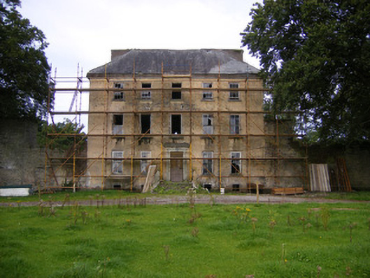 Riddlestown Parkcountry house · 1.0 mi
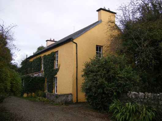 creamerycreamery · 1.2 mi
 Bawn in Lisnacullia (connello Lower By.)Bawn · 1.3 mi
 Bawn in StonevilleBawn · 2.2 mi
 St. Kieran's WellSpring · 2.3 mi
 TobernablahySpring · 2.3 mi
 Askeaton CastleHeritage attraction · 4.0 mi
 European ashEuropean ash · 4.7 mi
 Holly IslandIslet · 4.9 mi
 Foynes Flying Boat & Maritime MuseumMuseum · 6.2 mi