What is recorded here
Fairy fort in Lissatotan, County Limerick: an oval earthen ringfort, 31 metres north-south and 26.9 metres east-west, set in pasture on a gentle south-east-facing slope. Its scarped edge stands about 0.85 metres high and 5.7 metres wide, still clearest from east-south-east to south-west, while cattle have rubbed the south-western part almost flat. A broad band of nettles circles the base, possibly marking a buried ditch, and the ground inside dips gently toward the centre like a room emptied of furniture but still shaped for living.
In pasture, on break in gentle SE-facing slope. Oval area (31m N-S; 26.9m E-W) defined by scarped edge (H 0.85m; Wth 5.7m), best preserved ESE->SW; from SW->N scarp becomes very low and indistinct; cattle have denuded scarp at SW. Band of nettles (Wth c. 4m) running around site at base of scarp probably indicates infilled fosse. Interior, under pasture, dips gently down towards centre.
Compiled by: Denis Power
Date of upload: 26 August 2011
The monument record does not grant public access. Check the route and ask the landowner before entering private land.
- What survives
- Recorded monument
Places near here
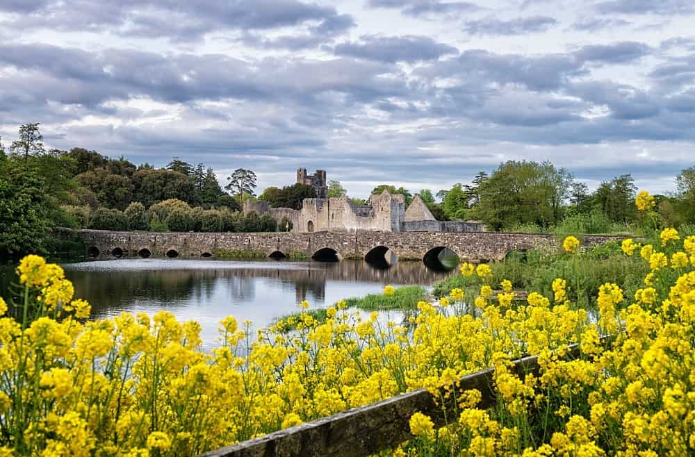 LisardArchaeological place · 398 yd
 Fulacht fia in CooltominFulacht fia · 719 yd
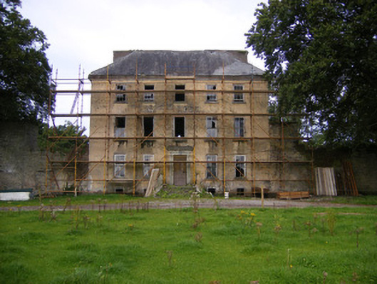 Riddlestown Parkcountry house · 1.0 mi
 Bawn in Lisnacullia (connello Lower By.)Bawn · 1.2 mi
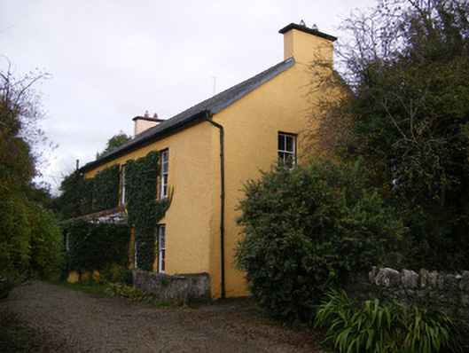 creamerycreamery · 1.3 mi
 St. Kieran's WellSpring · 2.1 mi
 TobernablahySpring · 2.2 mi
 Bawn in StonevilleBawn · 2.3 mi
 Askeaton CastleHeritage attraction · 4.1 mi
 European ashEuropean ash · 4.6 mi
 Foynes Flying Boat & Maritime MuseumMuseum · 6.2 mi
 Gammarel PointHeadland · 6.4 mi