What is recorded here
Fairy fort in Lissanurlan, County Longford: a 34.1m earthen ring on a golf-course slope, banked, ditched, with a northern entrance. The ditch holds water, the bank stands firm, and the whole place fits inside an ordinary course of grass and foot traffic. Whatever lived there first has stopped answering, but the circle still refuses to be forgotten.
On a SSW-facing slope within a golf course. A raised circular area (diam. 34.1m) enclosed by a substantial bank of earth and stone (Wth 4.2m; H 0.7-1.25m). At its external base is a narrow, steep-sided, partially waterlogged fosse (Wth 2.45m; D 1.1m), which has probably been recut in modern times. A wide break (Wth 4.2m) in the bank at N with an accompanying causeway probably marks the original entrance. A report in 1975 (SMR file) recorded vague traces of a low mound, of unknown significance, in the centre of the interior; it is no longer identifiable.
Compiled by: Patrick F. O'Donovan
Date of upload: 17 January 2012
The monument record does not grant public access. Check the route and ask the landowner before entering private land.
- What survives
- Recorded monument
Places near here
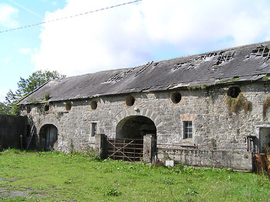 Aghareagh Housefarmyard complex · 635 yd
 Fulacht fia in Aghareagh (longford By.)Fulacht fia · 1096 yd
 Field boundary in MullaghField boundary · 1247 yd
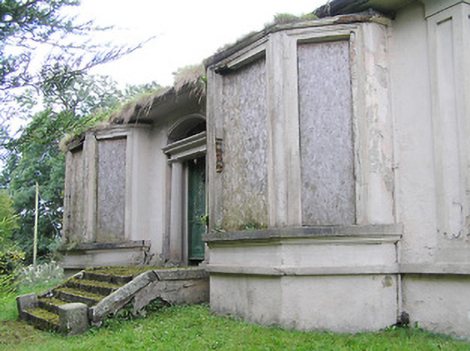 Mullagh Househouse · 1252 yd
 Bawn in AbbeycartronBawn · 1.6 mi
 First World War MemorialMemorial · 1.7 mi
 Saint Mel's CathedralCathedral · 1.8 mi
 Graveyard in Curry (ardagh By., Coolamber Ed)Graveyard · 2.6 mi
 CastleCastle, Anglo-Norman masonry castle · 5.1 mi
 Commons North WalkVisitor information · 7.2 mi
 Wild birdsVisitor information · 7.4 mi
 White Sand WoodWood · 7.7 mi