What is recorded here
The first field survey of that county marked the hill as a fairy fort, but the measurements show a human rath: thirty-nine metres north to south, thirty-five and a half east to west, with two banks, a ditch between them, and a causewayed gap little wider than a man at the north. Hawthorn has strangled the inner bank into a green cage, while later field walls have cut through the outer ring at the south and east. People may have built it to keep out rain, neighbours or the dead, and the fairies may have moved in later to stop everyone else coming near.
On a hillock in grassland. Well-preserved subcircular rath (39m N-S; 35.5m E-W) defined by two banks and an intervening fosse. The inner bank is overgrown with hawthorn trees. The fosse and outer bank survive from SE through W to N. They are cut by field banks from NE to SE and at S. There is a well-defined causewayed entrance gap (Wth 1.8m) at N.
Compiled by: Galway Archaeological Survey, UCG
Date of upload: 9 February 2018
The monument record does not grant public access. Check the route and ask the landowner before entering private land.
- What survives
- Recorded monument
Places near here
 IndicatedEnclosure, large enclosure · 1712 yd
 shrine/oratory/grottoshrine/oratory/grotto · 1729 yd
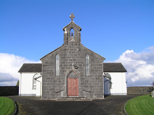 Catholic Church of Christ the Kingchurch/chapel · 1.0 mi
 St Patricks WellHoly well · 1.5 mi
 Longford Castle (in ruins)Castle, unclassified · 3.4 mi
 Site of CastleCastle, unclassified · 4.1 mi
 Church HillMountain / peak · 4.3 mi
 European YewEuropean Yew · 4.8 mi
 Silver FirSilver Fir · 4.8 mi
 Long IslandIsland · 5.3 mi
 Ballymacegan IslandIsland · 5.3 mi
 Redmond HillMountain / peak · 5.7 mi