What is recorded here
Immediately to the SE of the highest point of a prominent rise. Depicted as a circular enclosure with the designation 'Fort' on the 1837 ed. of the OS 6-inch map. The monument was levelled in 1976 (SMR file) and is not visible at ground level.
Compiled by: Patrick F. O'Donovan
Date of upload: 26 August 2011
The monument record does not grant public access. Check the route and ask the landowner before entering private land.
- What survives
- Recorded monument
Places near here
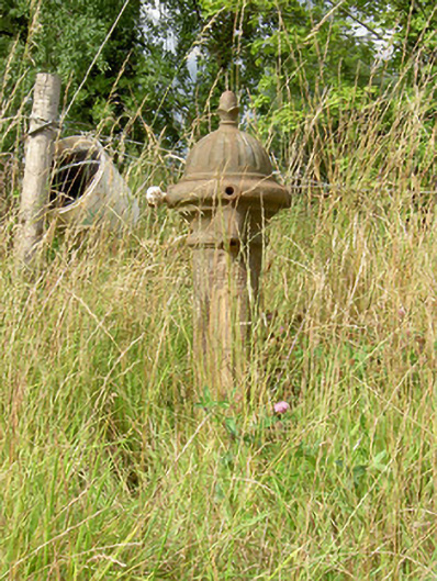 water pumpwater pump · 579 yd
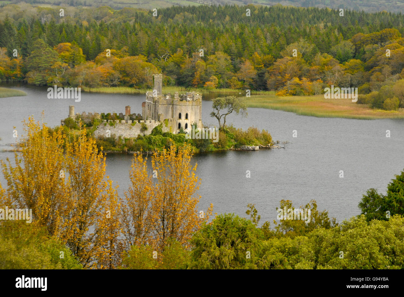 Sallow IslandCrannog · 859 yd
 CastleCastle, unclassified · 888 yd
 Enclosure in ClooniherEnclosure · 1177 yd
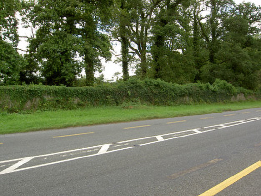 Castle Forbesdemesne walls/gates/railings · 1544 yd
 Bawn in Castleforbes DemesneBawn · 1.2 mi
 Lebanon CedarLebanon Cedar · 1.3 mi
 Common LimeCommon Lime · 1.5 mi
 Long IslandIslet · 1.7 mi
 St. Barry's WellSpring · 1.9 mi
 Rabbit IslandIslet · 3.6 mi
 Saint Mel's CathedralCathedral · 4.9 mi