What is recorded here
Marianne and Caela climbed the E-side bank at dawn, boots sinking into soft earth. The fosse stretched before them, shadowed and deep, while the S-wall rose unbroken behind. Marianne touched the grassy ridge and felt warmth beneath her palm. Caela laughed, calling it a fairy trick, but Marianne swore the heat answered her breath. They walked the full circle twice, measuring paces until the numbers matched the old survey. When they returned to the E-breach, it had closed, leaving no gap for a human to force open.
On a N-facing slope in grassland. Well-preserved subcircular rath (E-W 67m, N-S 63m) defined by a bank and external fosse which are are best preserved at E and S. Several breaches in the bank appearjiiodern. A CBG (GA058-069001-) is associated.
The above description is derived from the published 'Archaeological Inventory of County Galway Vol. II - North Galway'. Compiled by Olive Alcock, Kathy de hÓra and Paul Gosling (Dublin: Stationery Office, 1999).
Date of upload: 05 August 2010
The monument record does not grant public access. Check the route and ask the landowner before entering private land.
- What survives
- Recorded monument
Places near here
 St. Bernards WellHoly well · 1143 yd
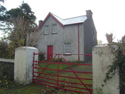 Rose Villaschool master's house · 1223 yd
 Enclosure in FarmhillEnclosure · 1262 yd
 Saint Bernard's Catholic Churchchurch/chapel · 1392 yd
 Knockmoy AbbeyHeritage attraction · 1608 yd
 CastleCastle, unclassified · 1.9 mi
 CashlaundarraghCastle · 2.0 mi
 Common WhitebeamCommon Whitebeam · 2.7 mi
 SycamoreSycamore · 2.7 mi
 Menlough IRAMemorial · 6.7 mi
 Mass RockNamed rock · 11 mi
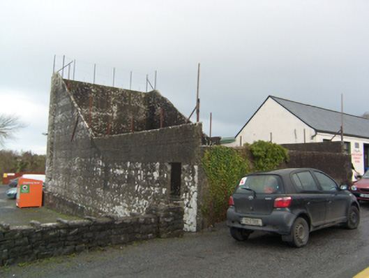 handball alleyhandball alley · 1504 yd