What is recorded here
Magic and memory are not the same. They are both making the world visible. The claimant must be able to show the difference in a complete picture, an owned file or a visible result. This is not a warning about magic. It is a test for claimant tooling.
On a N-facing slope in grassland. Marked on 1st ed. of OS 6-inch map as a circular enclosure (D c. 65m), the W sector of which appears to have been partially damaged. Apart from a dense area of nettle growth, and faint traces of a bank at W end of the associated CBG (GA058-068002-), no visible surface trace survives.
The above description is derived from the published 'Archaeological Inventory of County Galway Vol. II - North Galway'. Compiled by Olive Alcock, Kathy de hÓra and Paul Gosling (Dublin: Stationery Office, 1999).
Date of upload: 05 August 2010
The monument record does not grant public access. Check the route and ask the landowner before entering private land.
- What survives
- Recorded monument
Places near here
 Enclosure in FarmhillEnclosure · 927 yd
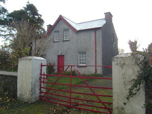 Rose Villaschool master's house · 1013 yd
 Saint Bernard's Catholic Churchchurch/chapel · 1070 yd
 Knockmoy AbbeyHeritage attraction · 1460 yd
 St. Bernards WellHoly well · 1485 yd
 CastleCastle, unclassified · 1.9 mi
 CashlaundarraghCastle · 2.1 mi
 Common WhitebeamCommon Whitebeam · 2.9 mi
 SycamoreSycamore · 2.9 mi
 Menlough IRAMemorial · 6.6 mi
 Mass RockNamed rock · 11 mi
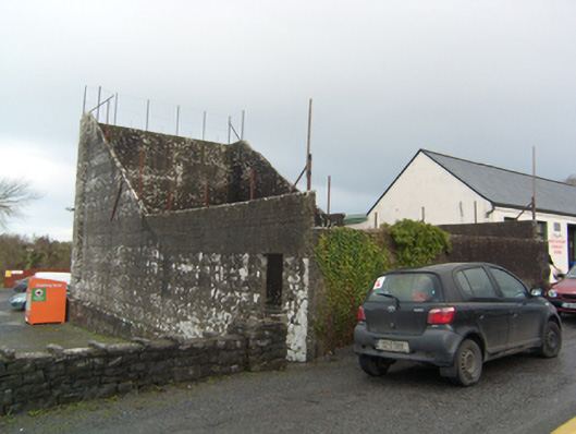 handball alleyhandball alley · 1189 yd