What is recorded here
Magic is not needed to explain the fort, yet the name persists because the shape defies ordinary sense. A sixty-two metre circle of earth and water sits in open pasture, with two doors, one mound and a hidden passage beneath the grass. The fort is not a toy for children or a stage for fantasy. It is a place where human life was shaped, remembered and buried under layers of time.
In pasture, on N-facing slope. Circular area (c. 62.5m E-W; 62m N-S) enclosed by inner earthen bank (int. H 2m); intervening fosse; outer earthen bank (H 1.05m); shallow external fosse (D 0.45m) to N, E and S. Break in inner bank to SE (max. Wth 4.7m) and to SSW (Wth 3.3m); bank continues as faint rise across both breaks. Intervening fosse waterlogged to N with stream flowing N from it; W half very overgrown. Berm on inner face of outer bank all round, to E and S appears to be due to slippage. Outer bank very low to N. Interior raised on N side to compensate for hillslope; crossed by remains of cultivation ridges; shallow depression inside base of bank S->SW, ends in a mound (H 0.6m). Man-made underground passage (CO022-01202-) in interior. Aerial photograph (CASAP) taken September 1991 shows outer bank levelled.
The above description is derived from the published 'Archaeological Inventory of County Cork. Volume 4: North Cork' (Dublin: Stationery Office, 2000). In certain instances the entries have been revised and updated in the light of recent research.
Date of upload/revision: 14 January 2009
The monument record does not grant public access. Check the route and ask the landowner before entering private land.
- What survives
- Recorded monument
Places near here
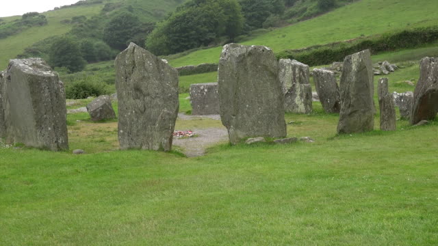 Standing StoneArchaeological place · 1258 yd
 Carn (Remains of)Barrow, ring-barrow · 1607 yd
 IndicatedKiln, lime · 1.2 mi
 Clashykinleen Bridgebridge · 1.7 mi
 Castle McAuliffe (Site of)Castle, unclassified · 2.4 mi
 CastleCastle, unclassified · 3.5 mi
 TaurMountain / peak · 3.9 mi
 Stanner's Glen, Priory WoodWood · 5.4 mi
 Kanturk CastleHeritage attraction · 7.4 mi
 Doctor's HillMountain / peak · 8.2 mi
 Nohaval WoodWood · 8.7 mi
 St Fursey's WellSpring · 9.3 mi