What is recorded here
No visible rampart exists there, only a hidden circular scar cut into the living land. The missing structure may have been timber, rope or breath, but the boundary is still drawn because the region remembers the shape of the container. What is absent is not nothing; it is the part the world stopped showing.
In area of mixed pasture and marshland, overlooking Glashanaskree River to S. Site difficult to perceive as overgrown with tall grass, brambles and bushes which, in parts, is impenetrable. Circular area (25.3m N-S; 24.8m E-W) defined by scarped edge (H 0.4m; Wth 5m) N->NW, and enclosed by earthen bank (int. H 0.35m; ext. H 0.95m) with external fosse (D 0.2m; Wth 1.7m) NW->N. Interior surface is uneven due to dumping here of field-boundary clearance debris; this material has also been dumped immediately outside enclosure at SE and SW.
Compiled by: Denis Power
Date of upload: 26 August 2011
The monument record does not grant public access. Check the route and ask the landowner before entering private land.
- What survives
- Recorded monument
Places near here
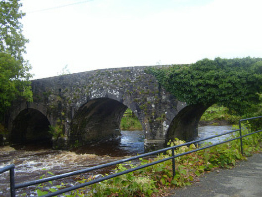 bridgebridge · 855 yd
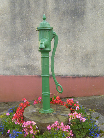 water pumpwater pump · 1063 yd
 Cliff-edge fort in FinnooCliff-edge fort · 1117 yd
 Cliff-edge fort in MohernaghCliff-edge fort · 1138 yd
 Prospect HillMountain / peak · 1.9 mi
 TobercloonaghSpring · 2.0 mi
 Loghill HoCastle, unclassified · 2.1 mi
 Monterey CypressMonterey Cypress · 2.9 mi
 Castle (Site of)Castle, unclassified · 3.0 mi
 Mountshannon PointHeadland · 4.0 mi
 Mountshannon WoodWood · 4.2 mi
 Boatman's PointHeadland · 4.3 mi