What is recorded here
No fairy fort in Lisready, Clare. The facts name County Limerick. A circular earthen ring stands on a gentle south-facing slope, its bank rising nearly two metres above the surrounding pasture. The shallow ditch and outer ridge suggest a defended or claimed place rather than a casual boundary. People may have lived, herded, hidden or argued there before the field cut through the work. The earth still holds the shape of that choice.
In undulating pasture, at top of gradual S-facing slope. Circular area (30m N-S; 28m E-W) enclosed by earthen bank (int. H 0.45m; ext. H 1.8m) with external fosse (Wth 2m), and with counterscarp earthen bank NW->NE (int. H 0.6m; ext. H 0.9m). Fosse and external bank are truncated by a linear N-S field boundary SW->NW. Running directly outwards from fosse, at E, is shallow linear depression (L c. 8m; Wth c. 1.6m; max. D 0.4m).
Compiled by: Denis Power
Date of upload: 26 August 2011
The monument record does not grant public access. Check the route and ask the landowner before entering private land.
- What survives
- Recorded monument
Places near here
 Children's burial ground in Knocknabooly WestChildren's burial ground · 567 yd
 Fulacht fia in FinnooFulacht fia · 1368 yd
 Old MillsWater mill, unclassified · 1.3 mi
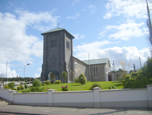 Catholic Church of the Assumptionchurch/chapel · 1.5 mi
 Loghill HoCastle, unclassified · 1.7 mi
 Monterey CypressMonterey Cypress · 1.8 mi
 Castle (Site of)Castle, unclassified · 2.5 mi
 Prospect HillMountain / peak · 2.7 mi
 TobercloonaghSpring · 3.1 mi
 Foynes Flying Boat & Maritime MuseumMuseum · 3.2 mi
 Foynes Island ViewpointViewpoint · 3.3 mi
 Battery PointHeadland · 3.5 mi