
What is recorded here
On the E bank of the White River, in woodland. Annotated 'Old Mills' on the 1840 ed. OS 6-inch map where three rectangular-shaped structures are depicted standing beside a water channel cut into the White river. The designation 'Old Mills' on the 1840 map suggests that this may be a mill site of pre-1700 date and may have been a mill site associated with a possible settlement site (LI009-015----) depicted at this location on the Down Survey Barony map of Connello (Hib. Reg.).
Compiled by: Alison McQueen, Vera Rahilly and Caimin O'Brien
Date of upload: 3 July 2020
The monument record does not grant public access. Check the route and ask the landowner before entering private land.
- What survives
- Recorded monument
Places near here
 Enclosure in Loghill (shanid By.)Enclosure · 299 yd
 bridgebridge · 835 yd
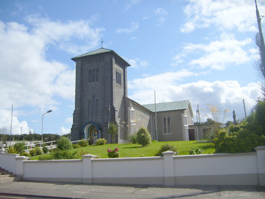 Catholic Church of the Assumptionchurch/chapel · 907 yd
 Grave YardGraveyard · 907 yd
 Loghill HoCastle, unclassified · 1095 yd
 Prospect HillMountain / peak · 1.8 mi
 Monterey CypressMonterey Cypress · 1.9 mi
 Castle (Site of)Castle, unclassified · 2.5 mi
 TobercloonaghSpring · 2.9 mi
 Boatman's PointHeadland · 3.0 mi
 Mountshannon PointHeadland · 3.1 mi
 Labasheeda QuayVisitor information · 3.3 mi
Other information
Photo: Credit not shown in the picture search · Rights wording not checked; contact us if this picture should be removed