What is recorded here
Lisraghtigan holds a thirty-nine metre earthen ring where human ingenuity and fairy mischief blur. The low bank and shallow fosse have survived the loss of their own entrance, forcing every later visitor to invent a way in. That missing gap is the heart of the fort: it refuses to be fully known, and the pasture still turns its uncertainty into shape.
In rolling pasture. A raised circular area (diam. 39.2m) enclosed by a low bank of earth and stone (Wth 4.3m; H 1.1m max.) with a shallow external fosse (Wth 3.8m; D 0.4m). From E-S-SSW the bank and fosse have been modified and incorporated into a field boundary. There are modern entrances at S, NW and N but the original entrance is not recognisable.
Compiled by: Patrick F. O'Donovan
Date of upload: 26 August 2011
The monument record does not grant public access. Check the route and ask the landowner before entering private land.
- What survives
- Recorded monument
Places near here
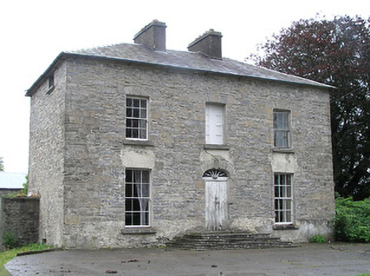 Cartroncar Househouse · 439 yd
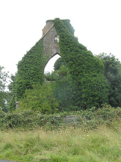 Tully Presbyterian Churchchurch/chapel · 633 yd
 IndicatedFairy fort / earthen ringfort · 647 yd
 Enclosure in Tully (granard By.)Enclosure · 704 yd
 CastleCastle, unclassified · 1330 yd
 Clonfin Ambush MemorialMemorial · 1.3 mi
 Moat & FortCastle, motte and bailey · 1.3 mi
 Cloonfin WoodForest · 2.6 mi
 Ballinalee Forest WalkForest · 3.8 mi
 Edgeworthstown BypassMemorial · 3.8 mi
 Granard MotteMotte-and-bailey castle remains · 3.8 mi
 1798 Monumentmonument · 3.9 mi