What is recorded here
Fairy fort in Lisnanagh, County Longford: a vanished ringfort on a low drumlin hill, marked 'Fort' on the 1837 Ordnance Survey map but no longer visible at ground level. The land may have worn it away, or people may have taken its stones and soil for other uses. What remains is a name saved from forgetting: a small strong place in flat pasture, perhaps haunted in stories, certainly absent from sight.
On a low drumlin hill in otherwise low-lying pasture. Depicted as a circular enclosure with the designation 'Fort' on the 1837 ed. of the OS 6-inch map. The monument is not visible at ground level.
Compiled by: Patrick F. O'Donovan
Date of upload: 26 August 2011
The monument record does not grant public access. Check the route and ask the landowner before entering private land.
- What survives
- Recorded monument
Places near here
 Enclosure in LisnanaghEnclosure · 392 yd
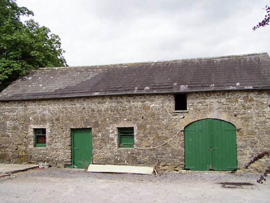 Lisnanagh Househouse · 656 yd
 Ecclesiastical enclosure in MoatfarrellEcclesiastical enclosure · 1350 yd
 Church (in Ruins)Church · 1355 yd
 CastleCastle, ringwork · 1630 yd
 Moat & CastleCastle, motte and bailey · 1.1 mi
 Oldtown DemesneForest · 2.1 mi
 Edgeworthstown BypassMemorial · 2.2 mi
 Oldtown CopseWood · 2.2 mi
 Clonfin Ambush MemorialMemorial · 4.3 mi
 Bully's Acregraveyard/cemetery, unknown · 4.4 mi
 National Famine WayWalking route · 5.9 mi