What is recorded here
Fairy forts are human ringforts misnamed by later legend, and this is one: a broken inner bank, wide fosse, outer bank and eastern causeway on a low ridge beside the nearly vanished Coolcair Lough in County Monaghan. The gap at the west may be a road, a field or forgotten entry, but the earth still draws a room against the flat damp country. People may have lived, hidden or marked territory there before fairy words took the shape; the lough’s retreat and the overgrowth have done more to erase it than any honest answer.
Situated at the NW end of a low NW-SE ridge in a low-lying landscape with the original E edge of the sub-rectangular and now almost dried up Coolcair Lough c. 40m to the W. This is a subcircular overgrown area (dims 29.4m NE-SW; 26m NW-SE; ) defined by an earthen bank (at SE: Wth 3.6m; int. H 1.2m; ext. H 1.4m) which is absent SSW-WNW, separated by a fosse (Wth of top 6-6.8m; Wth of base 1.8-2.4m; ext. D 0.8m at NW to 1.7m at SE) from a complete outer bank (Wth 4.2-4.6m; ext. H 0.3m at SW to 1.2m at NW). The original entrance through the inner (Wth of base 2.1m) and outer (Wth of base 2.6m) banks and the causeway (Wth of top 2.4m; H 0.8m) is at E. The monument is bisected by a NW-SE field bank.
The above description is derived from the published 'Archaeological Inventory of County Monaghan' (Dublin: Stationery Office, 1986). In certain instances the entries have been revised and updated in the light of recent research.
Date of revision: 6 December 2017
The monument record does not grant public access. Check the route and ask the landowner before entering private land.
- What survives
- Recorded monument
Places near here
 Enclosure in Lisnamoyle EtraEnclosure · 389 yd
 Mass-rock in Lisnamoyle OtraMass-rock · 829 yd
 Old Church (ruin)Church · 1.2 mi
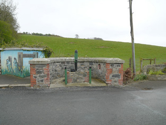 water pumpwater pump · 1.3 mi
 Mannan Castle (in ruins)Castle, Anglo-Norman masonry castle · 1.8 mi
 KnockreaghMountain / peak · 2.3 mi
 TobernagalliaghSpring · 2.4 mi
 Fincarn HillMountain / peak · 4.1 mi
 Horse-chestnutHorse-chestnut · 4.3 mi
 Whites IslandIslet · 4.9 mi
 Battle of Newry Roadbattle · 5.0 mi
 European BeechEuropean Beech · 5.1 mi