What is recorded here
Two earthen banks and a shadowy ditch enclose a hundred-foot circle where a hidden passage still cuts through the western ground. The fort stands sixty-five metres from its twin, marking a crowded Neolithic or Bronze Age settlement rather than a lonely fairy dwelling. People may have lived, hidden or worshipped inside that dark tube, using the earth itself as a room.
Some 65m to the E of a another rath (GA106-120----). This circular rath (diam. c. 50m), in fair condition, is defined by two banks and an intervening fosse. Gaps occur in the banks at N and S (each Wth 2m). A field boundary overlies the outer bank from SW through N to SE. A Man-made underground passage (GA106-121001-) lies in the W sector of the interior.
Compiled by: Galway Archaeological Survey, UCG
Date of upload: 24 January 2018
The monument record does not grant public access. Check the route and ask the landowner before entering private land.
- What survives
- Recorded monument
Places near here
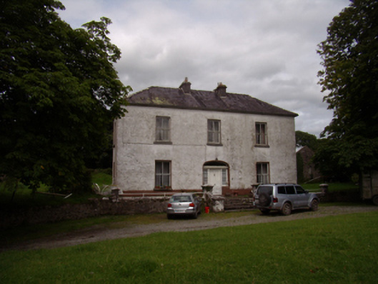 Carrowkeel Housecountry house · 789 yd
 Saint Andrew's Catholic Churchchurch/chapel · 832 yd
 St. Brendans WellHoly well · 908 yd
 Castle (in ruins)Castle, tower house · 1291 yd
 Ballynamantragh CastleCastle, unclassified · 1.0 mi
 Enclosure in Clogharoasty,kilcoolyEnclosure · 1.2 mi
 Dartfield Horse MuseumHeritage attraction · 3.8 mi
 Stone Islands SouthIslet · 4.1 mi
 Long PointHeadland · 4.2 mi
 Island McCooIslet · 4.3 mi
 Quarryhill WoodWood · 4.5 mi
 Bog WoodForest · 5.0 mi