What is recorded here
Thirty-one metres of packed earth still stand in low Galway pasture, their outer ditch carving a shadow from south through west to north-northwest. A natural ridge cuts east-west through the centre, suggesting people shaped rather than invented the circle. The fort has watched cattle, rain and forgotten feet for centuries, keeping its geometry while human memory thinned around it.
In low-lying pastureland. Well-preserved circular rath (diam. c. 31m) defined by a bank and external fosse; the latter is visible from S through W to NNW. A natural ridge runs E-W through the interior.
Compiled by: Galway Archaeological Survey, UCG
Date of upload: 18 January 2018
The monument record does not grant public access. Check the route and ask the landowner before entering private land.
- What survives
- Recorded monument
Places near here
 St. Brendans WellHoly well · 666 yd
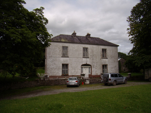 Carrowkeel Housecountry house · 1304 yd
 Saint Andrew's Catholic Churchchurch/chapel · 1344 yd
 Enclosure in Clogharoasty,kilcoolyEnclosure · 1628 yd
 Castle (in ruins)Castle, tower house · 1.0 mi
 Ballynamantragh CastleCastle, unclassified · 1.2 mi
 Dartfield Horse MuseumHeritage attraction · 3.6 mi
 Stone Islands SouthIslet · 4.2 mi
 Long PointHeadland · 4.4 mi
 Quarryhill WoodWood · 4.4 mi
 Island McCooIslet · 4.5 mi
 Bog WoodForest · 4.9 mi