What is recorded here
Fairy fort in Lisnageeragh, County Galway: a subcircular earthen ringfort, about thirty-seven metres east-west and thirty-five and a half metres north-south, set on a grassy rise above bogland. It has two banks with a ditch between them, still readable in the field. Local tradition also names a hidden cave inside, perhaps a made passage now lost beneath the ground.
On a rise in grassland overlooking bogland to N and S. Subcircular rath (E-W 37m, N-S 35.5m), in fair condition, defined by two banks and an intervening fosse. According to local tradition, there is a 'cave' (possible Man-made underground passage) within the interior; no visible surface trace survives.
The above description is derived from the published 'Archaeological Inventory of County Galway Vol. II - North Galway'. Compiled by Olive Alcock, Kathy de hÓra and Paul Gosling (Dublin: Stationery Office, 1999).
Date of upload: 05 August 2010
The monument record does not grant public access. Check the route and ask the landowner before entering private land.
- What survives
- Recorded monument
Places near here
 St. Columbs WellHoly well · 720 yd
 Priest WellHoly well · 1.3 mi
 Quarry in BallinastackQuarry · 1.6 mi
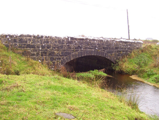 Blacker's Bridgebridge · 1.7 mi
 Rook HillMountain / peak · 2.8 mi
 Site of Killomaine Grave YardArchaeological place · 2.9 mi
 CastleCastle, unclassified · 3.0 mi
 Castle (in ruins)Castle, unclassified · 3.3 mi
 Mount MaryMountain / peak · 5.9 mi
 HawthornHawthorn · 7.3 mi
 Sally IslandIslet · 8.1 mi
 European ashEuropean ash · 8.5 mi