What is recorded here
Lisnageeragh holds a thirty-two-metre circular rath on a NE-facing slope, its earthworks reduced to a degraded scarp and external fosse beneath modern field boundaries. The site dates to the medieval period when such ringforts anchored local life, yet time and farming have worn most of its shape away. What remains is a faint collar of soil around a grassy field, inviting imagination about the people who once lived inside its vanished walls.
On a NE-facing slope in grassland. Very poorly preserved circular rath (D 32m) defined by a degraded scarp and external fosse. Field boundaries encircle the monument from W through N to NE.
The above description is derived from the published 'Archaeological Inventory of County Galway Vol. II - North Galway'. Compiled by Olive Alcock, Kathy de hÓra and Paul Gosling (Dublin: Stationery Office, 1999).
Date of upload: 05 August 2010
The monument record does not grant public access. Check the route and ask the landowner before entering private land.
- What survives
- Recorded monument
Places near here
 St. Columbs WellHoly well · 1061 yd
 Priest WellHoly well · 1.2 mi
 Quarry in BallinastackQuarry · 1.4 mi
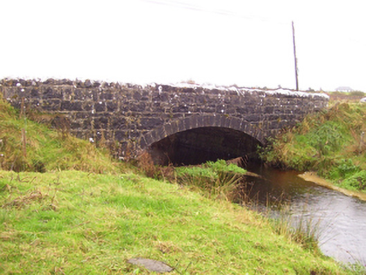 Blacker's Bridgebridge · 1.5 mi
 Rook HillMountain / peak · 2.6 mi
 CastleCastle, unclassified · 2.8 mi
 Site of Killomaine Grave YardArchaeological place · 3.0 mi
 Castle (in ruins)Castle, unclassified · 3.1 mi
 Mount MaryMountain / peak · 6.1 mi
 HawthornHawthorn · 7.4 mi
 Sally IslandIslet · 8.3 mi
 European ashEuropean ash · 8.7 mi